AWW
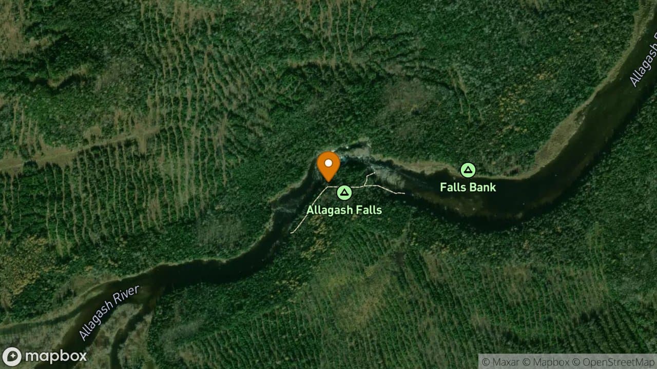
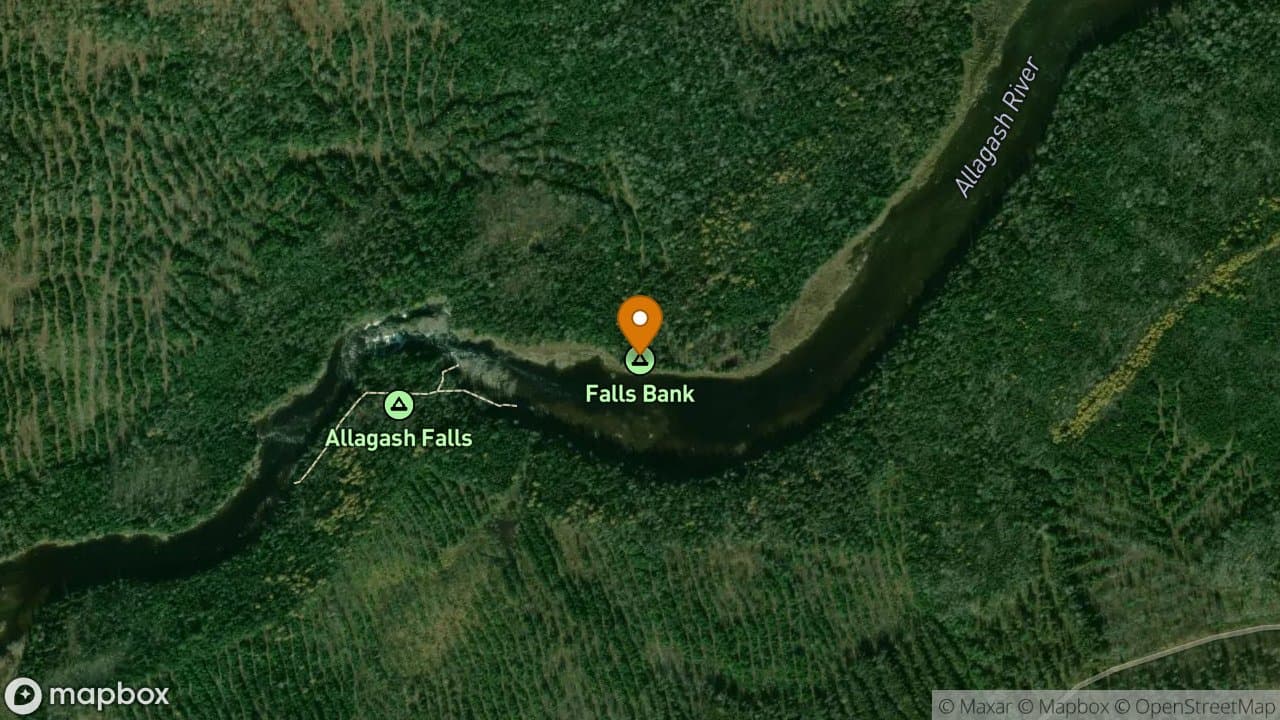
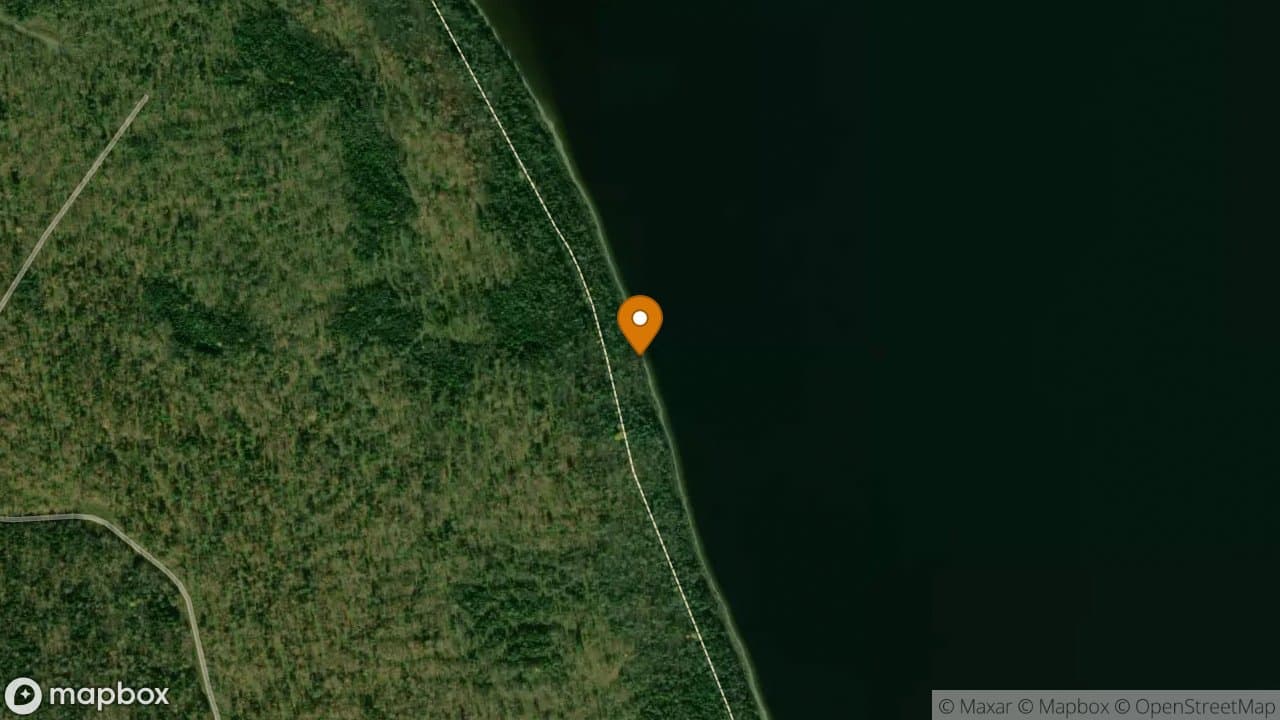
Allagash Falls
Allagash Wilderness Waterway
Allagash Falls Campsite offers four very nice sites with spectacular views of th...
4 sites·$6.54-$13.08/night
Canoe
The Allagash Wilderness Waterway is a 92-mile corridor of lakes, ponds, rivers, and streams in northern Maine, designated as a National Wild and Scenic River in 1970. All campsites are accessible by canoe, kayak, or other watercraft only.
84
Campsites
90
Points of Interest
92
Miles
A full Allagash trip takes 7–10 days depending on pace and wind conditions. Day-trip options are available from road-accessible put-ins.
Mostly flatwater lakes and gentle river current. Chase Rapids (Class I-II) is the main whitewater section — portage available. Allagash Falls has a mandatory portage.
July offers the best combination of water levels, weather, and daylight. June has higher water but more bugs. September has beautiful foliage but shorter days.
Most trips start at Chamberlain Bridge (via Telos Road) and end at Allagash Village or Twin Brook. Shuttle services available.
Water level reports: Maine DACF Allagash page
Campsites (amber circles), ranger stations (red), bridges (purple), fishing spots (teal), and other points of interest along the waterway.
Abandoned Locomotives
These locomotives were used by Great Northern Paper on the Eagle Lake and West Branch Railroad. There is also a portage trail that crosses here to Chamberlain and the Tramway Boilers. Remember, artifacts within the AWW remain the property of the State of Maine; they are not to be removed. A view of the approach to the Tramway Trail and the Locomotives from Eagle Lake. A large beaver lodge is located on the right of the canoe landing area.
Allagash Ice Cave Entrance
Entering these caves and the exploration of them are at your own risk. A narrow tunnel leads down into a small room.
Allagash Lake
Allagash River
Allagash Wilderness Waterway
AWW Headquarters
This is the seasonal headquarters of the Allagash Wilderness Waterway. This is also the superintendent's summer residence. It is intermittently staffed. Staff meetings and trainings are held here throughout the summer.
Boarding House
The Boarding House is one of the two buildings left from the logging era at Churchill Depot.
Boundary Line
Boundary Line
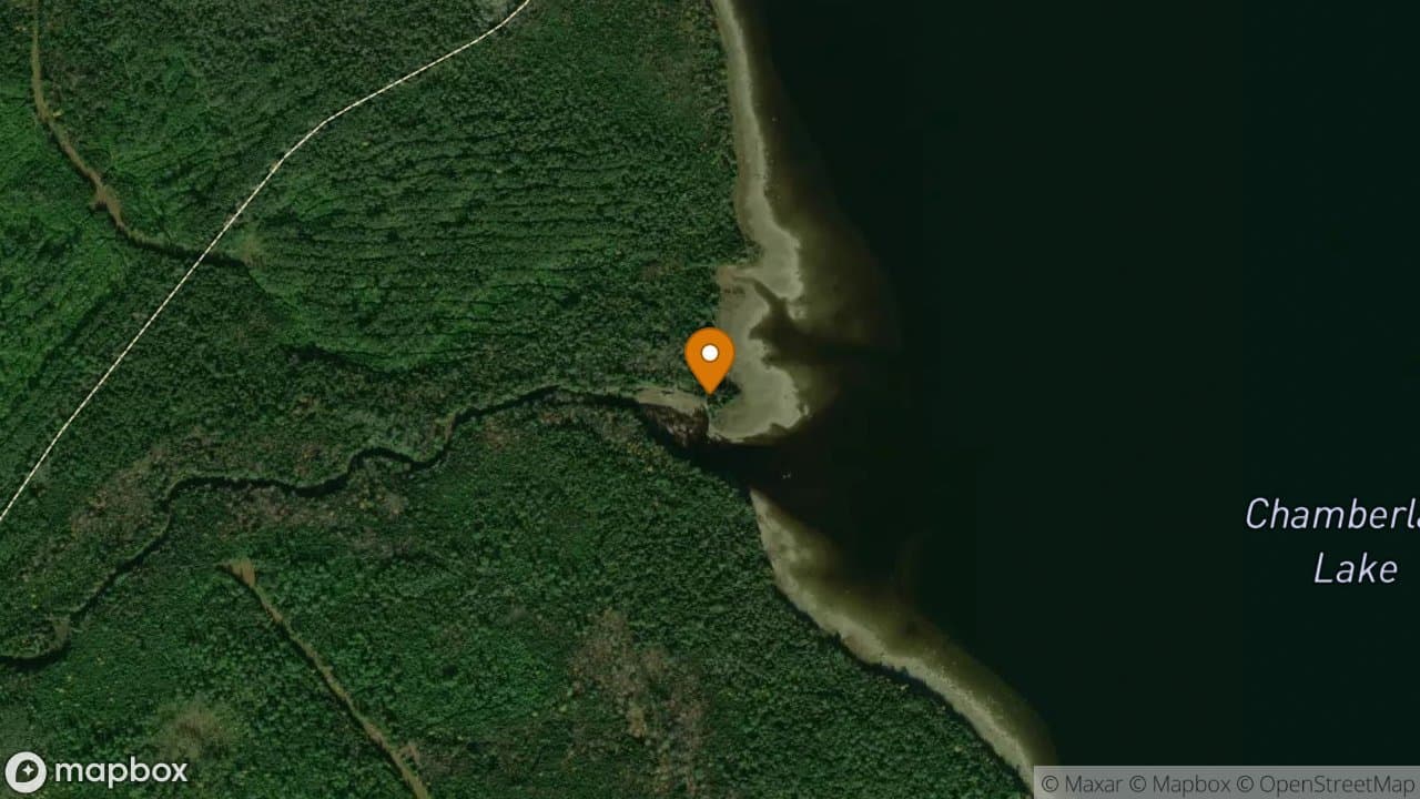
Chamberlain Boat Launch
This is a motor vehicle access site to the watercourse.
Chamberlain Farm
Chamberlain Farm was built as a depot and farm to grow and store supplies before they were taken to woods camps around the area where harvesting teams were working. The only building left is leased for sporting camp use by Nugent's Camps. Please respect the privacy of any renters staying there. A current picture of The Chamberlain Farm area and the only building left. A historical picture of the last remaining building.
Chamberlain Lake
Chamberlain Parking Lot
Camping is not allowed here from May 15th to September 30th and from the first Saturday to the second Saturday of December each year.
Chamberlain Public Drinking Water Supply
This is a public drinking water supply.
Churchill Lake
Eagle Lake
H.W. Marsh Boom Ship Remains
Towards the end of its use of booming logs, the H.W. Marsh Steamship was pulled up onshore near Chamberlain Farm for the winter. The stern froze in the water. All that remains are the remnants of the engine along the shoreline.
Henderson Canoe Storage
There is a watercraft storage area available here.
Ice Cave Trail
Indian Stream Foot Trail
There is a parking area nearby before crossing Indian Stream capable of holding several trucks and canoe trailers. To access the foot trail, cross over the stream on the road and walk past the gate. A quarter mile walk will take you to a watercraft storage area on the shore of Indian Stream. It is a short paddle from there to Eagle Lake.
Indian Stream Parking Lot
Parking is allowed here for access to Indian Stream.
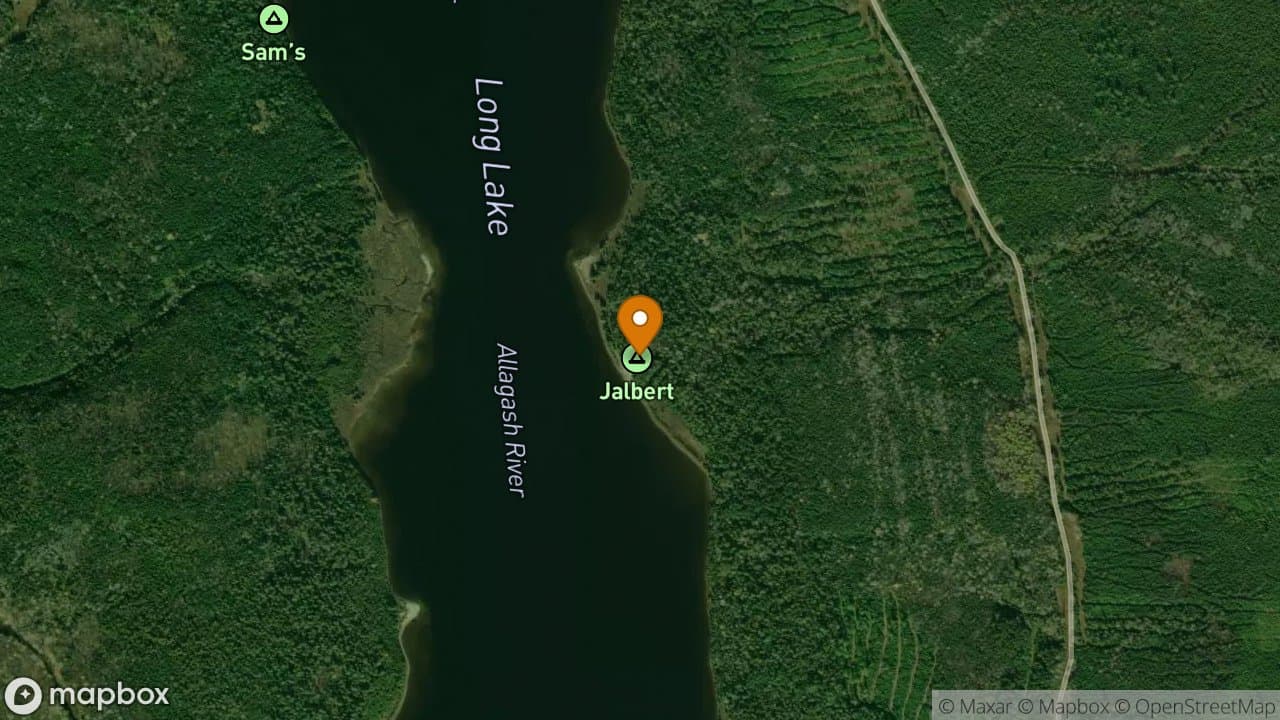
Jalberts Sporting Camps
Jalberts Sporting Camps are owned by the State of Maine and leased to the operators. Please respect the privacy of the any renters staying here.
Joe McKeel Gravesite
Joe McKeel died in 1870 while working as the camp watchman at Cunliffe Depot. He was buried here by Dan O'Leary Sr. who was homesteading at the Moir Farm. It is said that Mr. McKeel was buried with two pork barrels put together to form his casket.
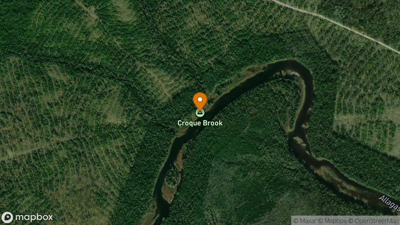
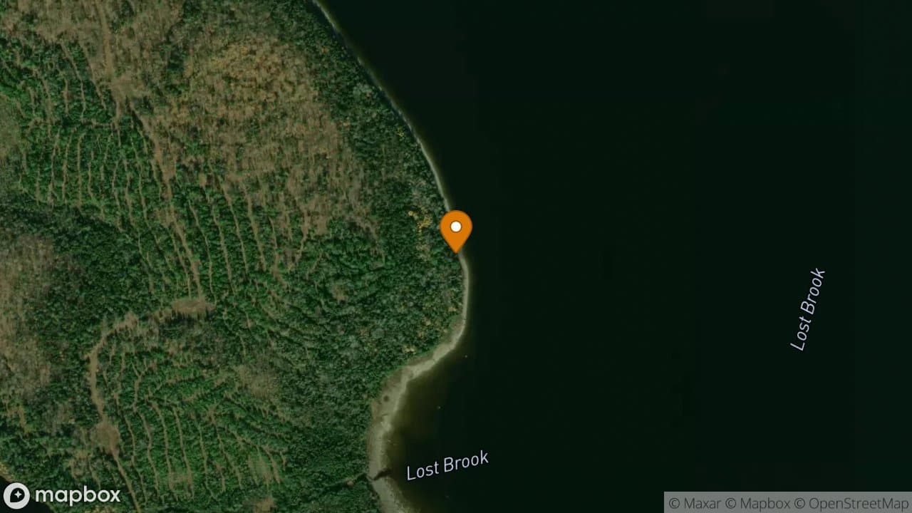
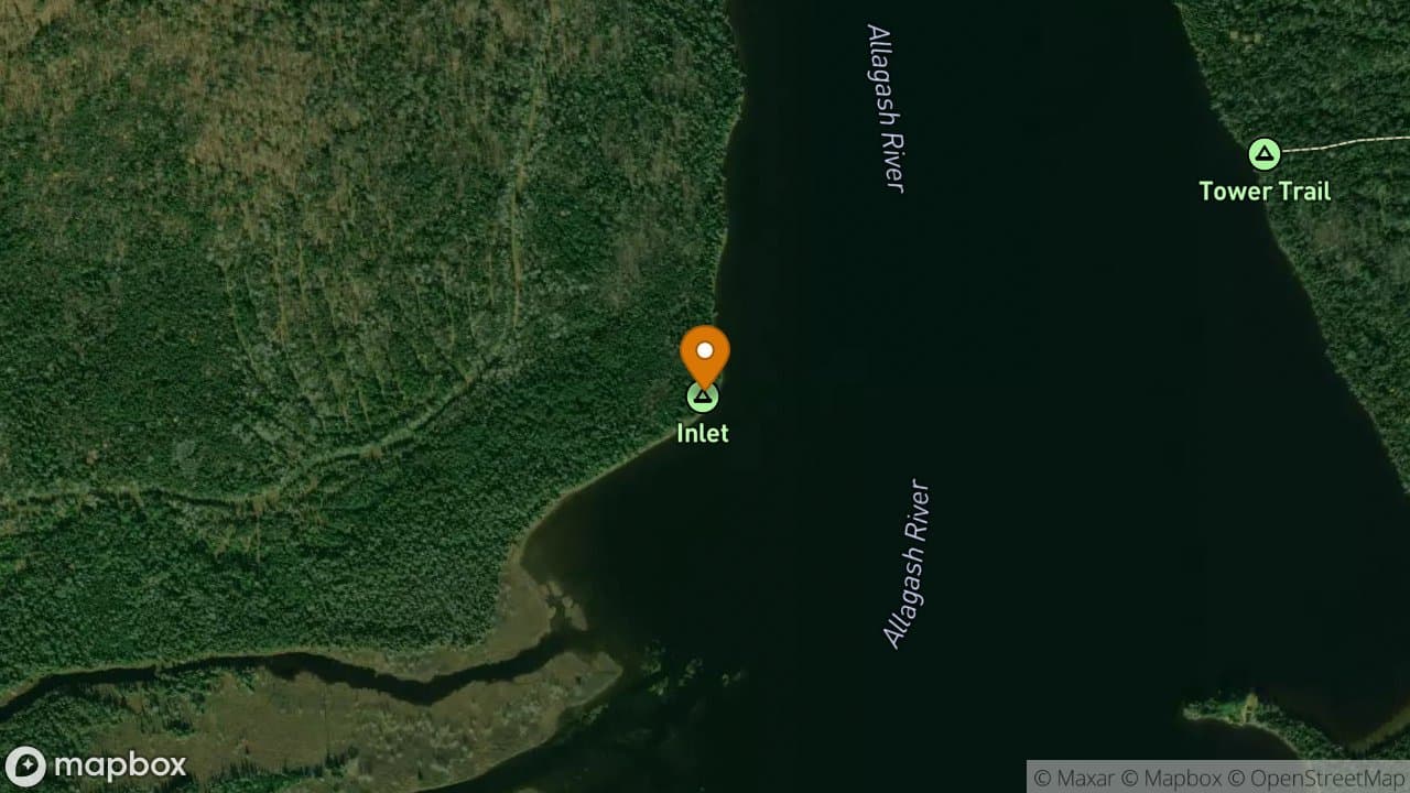
Johnson Stream
This stream is a popular access route to Allagash Lake on the inlet end. Water levels and conditions are dependant upon recent weather and time of year. Looking across Johnson Pond towards the outlet. The island is on the the left edge of the picture.
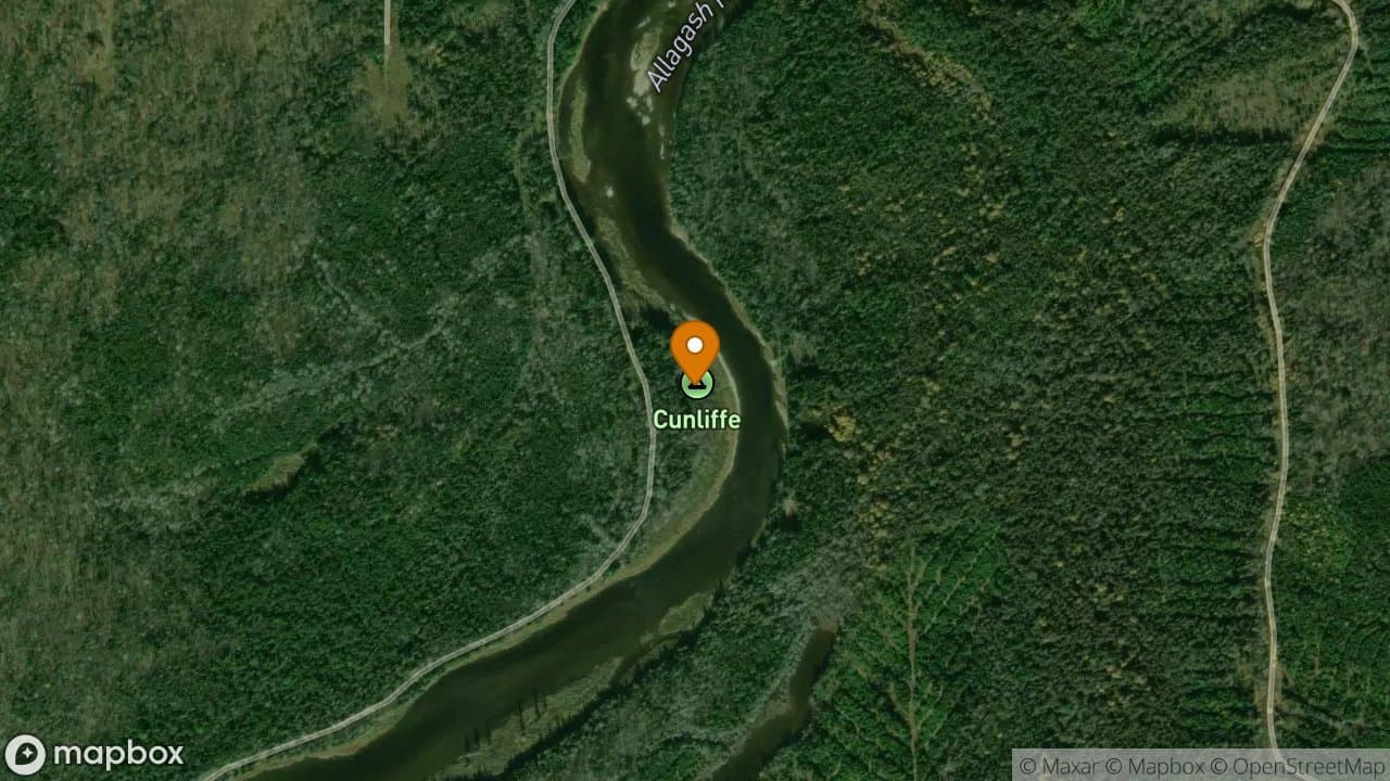
Lombard Log Haulers at Cunliffe Depot
These Lombard Log Haulers were used by the nearby Cunliffe logging operation. These two machines lets you compare the design differences between the gasoline and steam versions. Remember, artifacts within the AWW remain the property of the State of Maine; they are not to be removed. The Gasoline Powered Lombard Log Hauler The Steam Powered Lombard Log Hauler
Long Lake
McNallys Ross Stream Camps
McNallys Ross Stream Camps is a short paddle from Long Lake up Ross Stream.
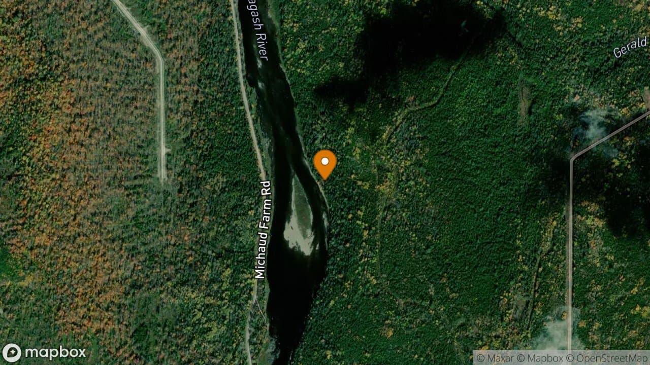
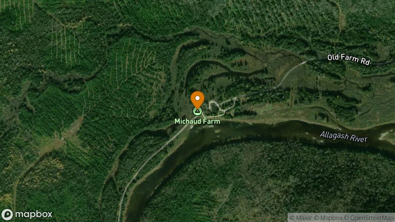
Michaud Farm Canoe Landing
Michaud Farm Canoe Storage
There is a watercraft storage area available here.
Michaud Farm Parking Lot
Parking is allowed inside the Restricted Zone only at parking lots like this one.
Moir Farm
The Moir Farm was started by George Moir and Lucinda Diamond in 1837. They were among the first white settlers in the area. Many people from Allagash Village are descendants of the couple and other members of the Diamond family. Remember, artifacts within the AWW remain the property of the State of Maine; they are not to be removed. A view of the Moir Farm during the 1980's.
Mud Pond Carry
The Mud Pond Carry has been used for centuries to access Mud Pond and then Chamberlain Lake. It crosses from Umbazooksus Lake to Mud Pond. Henry David Thoreau became lost while crossing this portage in 1857. Later in his trip, the group cancelled a climb of Katahdin due to the condition of his campanion's feet which they attributed to the Mud Pond Carry.
Nugent's Sporting Camps
Nugent's Camps is owned by the State of Maine and leased to the operator's. Please respect the privacy of the any renters staying here.
Public Drinking Water
This water is the public drinking water supply.
Pumphandle Lookout Trail
This is a half mile hiking trail starting that takes you up onto Second Ridge. It ends on a rocky outcropping that overlooks Russell Cove and Farm Island. You can see Mount Katahdin, the north end of Chamberlain Lake and the firetower on Allagash Mountain from here.
Round Pond
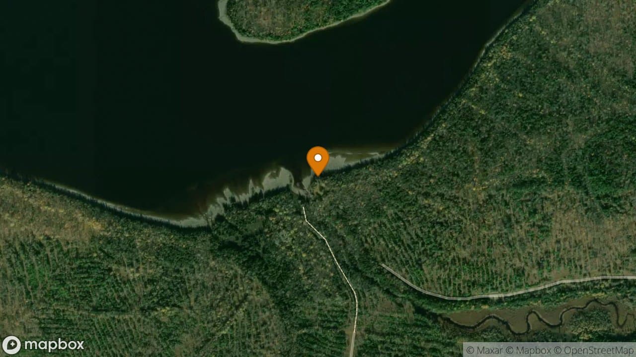
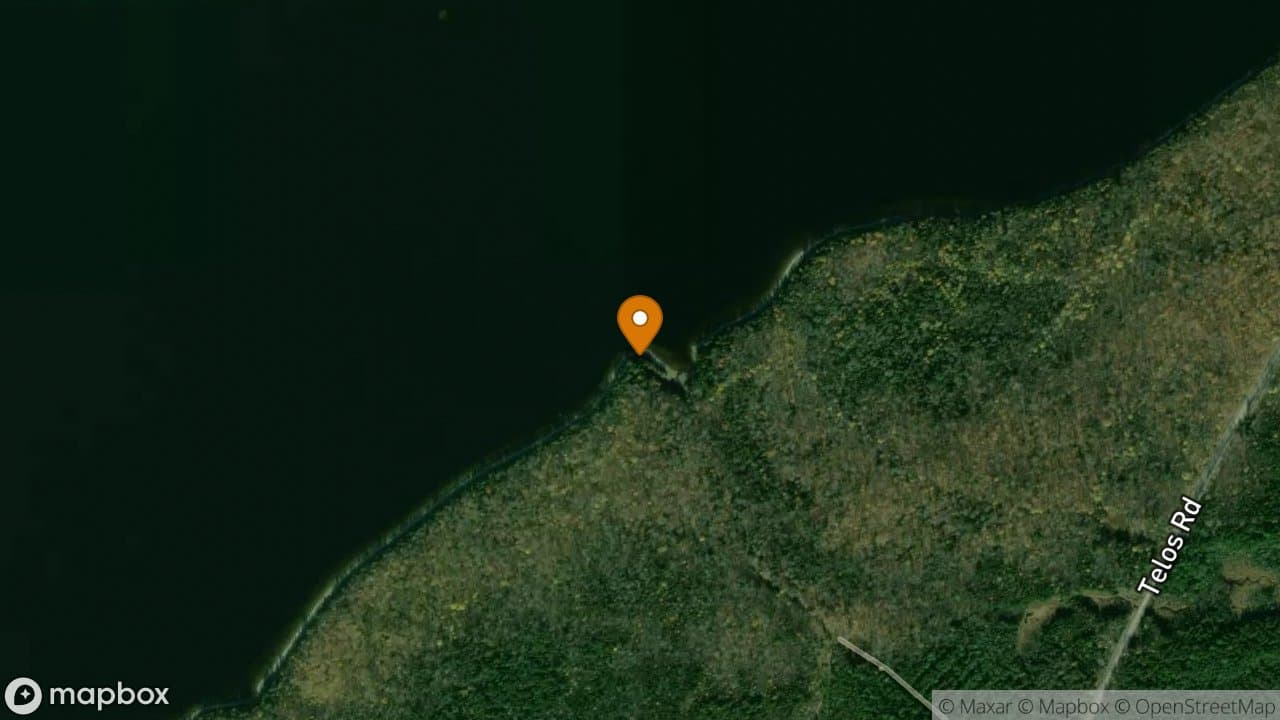
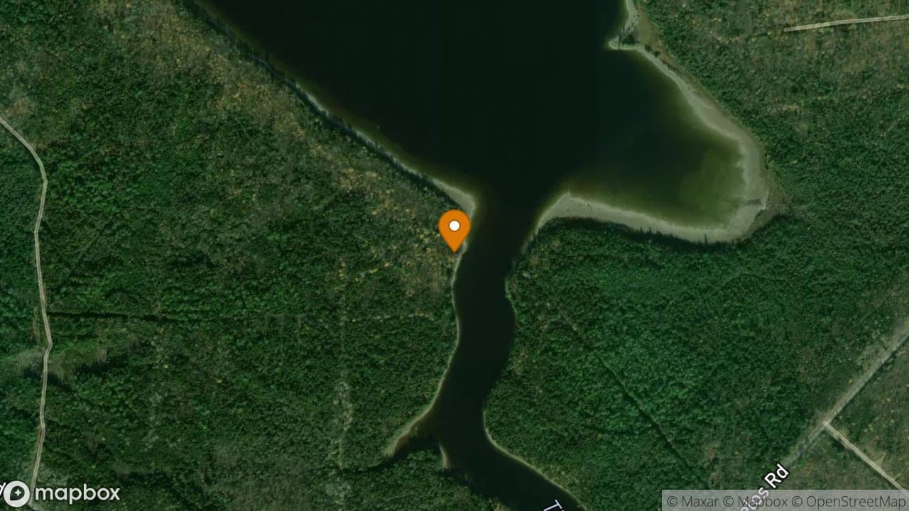
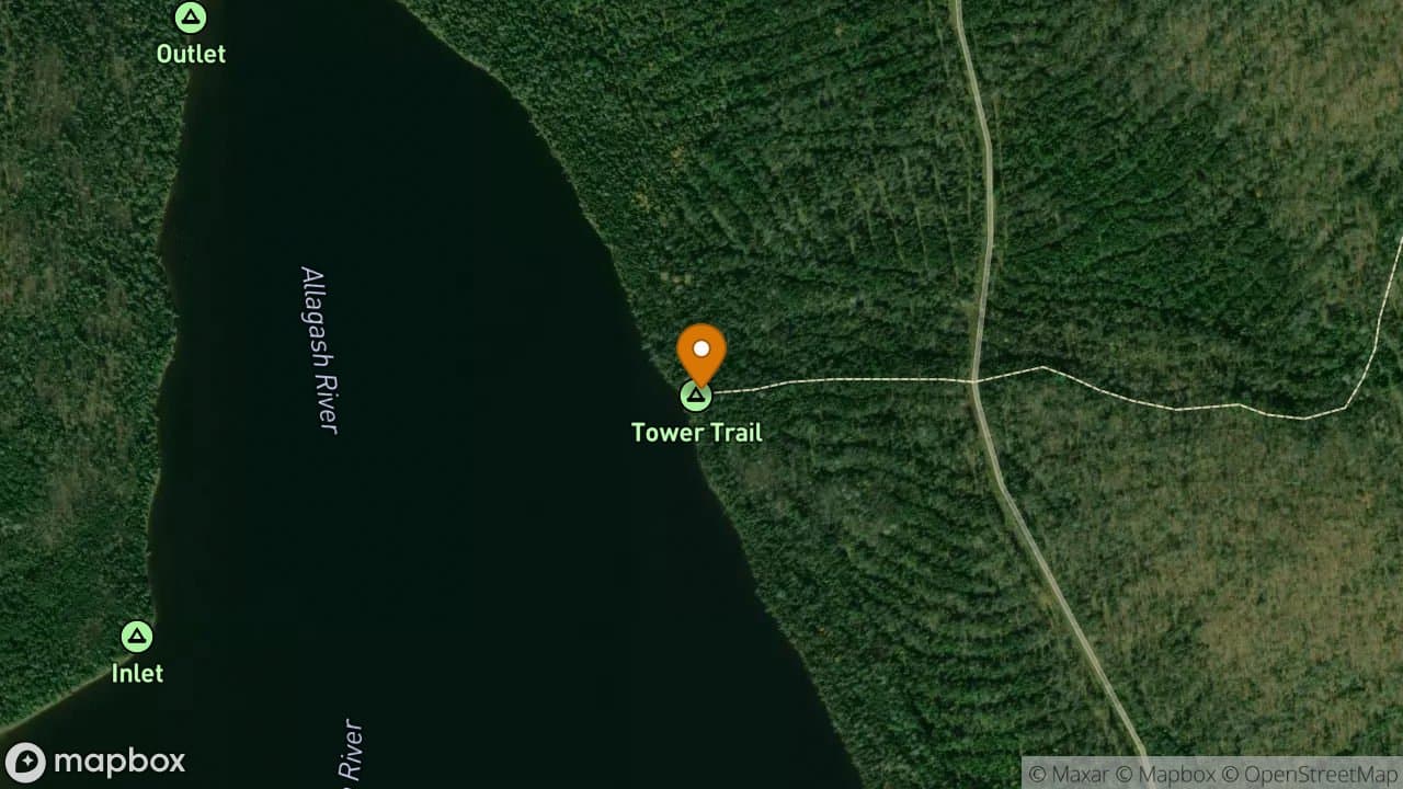
Round Pond Tower Trail
Paddlers stretch their legs climbing this trail from Tower Trail campsite to the top of Round Pond Mountain.
Taylor Camps
The Taylor Camps were the home of Henry and Alice Taylor. Henry Taylor was a retired Game Warden who built and ran a sporting camp at this location starting in the 1930's. Remember, artifacts within the AWW remain the property of the State of Maine; they are not to be removed.
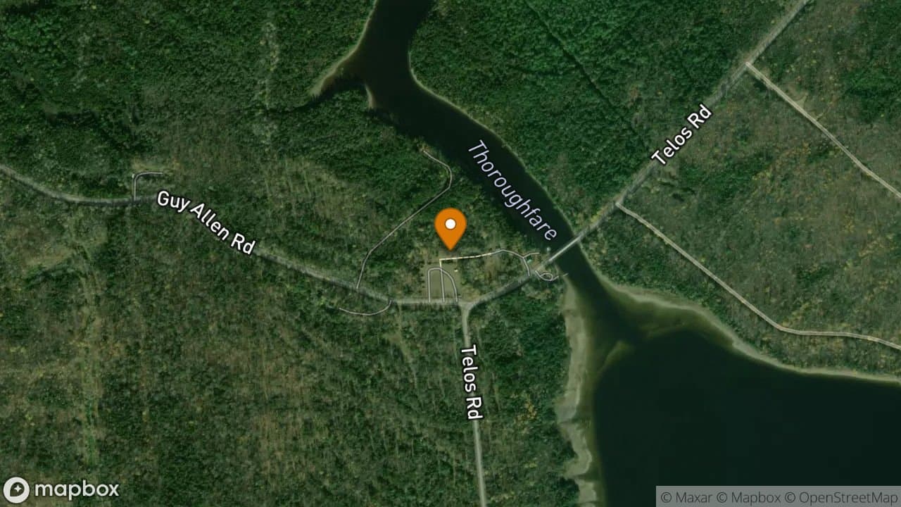
Telos Lake
Train Trestle
This Trestle supported the Locomotives and the train of log cars across the northern part of Chamberlain during the operation of the Eagle Lake & West Branch Railroad.
Tramway
The Tramway hauled long spruce logs from Eagle Lake to Chamberlain from 1902 to 1907. These are the Hodge boilers that powered the Westinghouse engine that ran the Tramway. In the summer of 2012, volunteers, acting on behalf of the Bureau of Parks & Lands, rebuilt 25 feet of the Tramway structure. Originally, this structure would have cross all the way to the Locomotives. The 16 foot spruce logs would ride on the top layer while the empty upside down trucks would ride back to Eagle Lake for more
Tramway Portage Trail
The Tramway trail crosses from Chamberlain Lake to Eagle Lake near the route of the Tramway. The cable and trucks can be seen at numerous points. Remember, artifacts within the AWW remain the property of the State of Maine; they are not to be removed.
Umsaskis Canoe Launch
Motor vehicle access to the watercourse is allowed here.
Umsaskis Canoe Storage
There is a watercraft storage area available here.
Umsaskis Lake
Umsaskis Parking Lot
Parking is allowed inside the Restricted Zone only at parking lots like this one. Camping is allowed here only from October 1st to November 30th.
Upper Allagash Landing
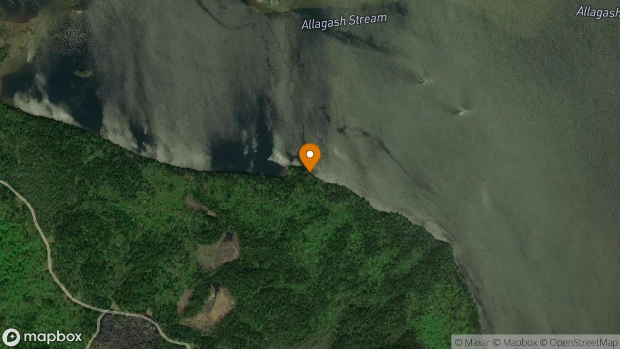
Visitors sometimes use this point on Upper Allagash Stream to access Allagash Lake on the inlet end. Water levels and conditions are dependant upon recent weather and time of year. The path to the Stream. There is some space for parking here.
Allagash Falls Portage Trail
Use this trail to portage around Allagash Falls. Do NOT attempt to canoe over Allagash Falls.
Churchill Dam
Churchill Dam
Churchill Dam Canoe Storage
There is a watercraft storage area available here.
Churchill Dam Parking Lot
Parking is allowed inside the Restricted Zone only at parking lots like this one.
Lock Dam
Lock Dam was last resurfaced in 2010.
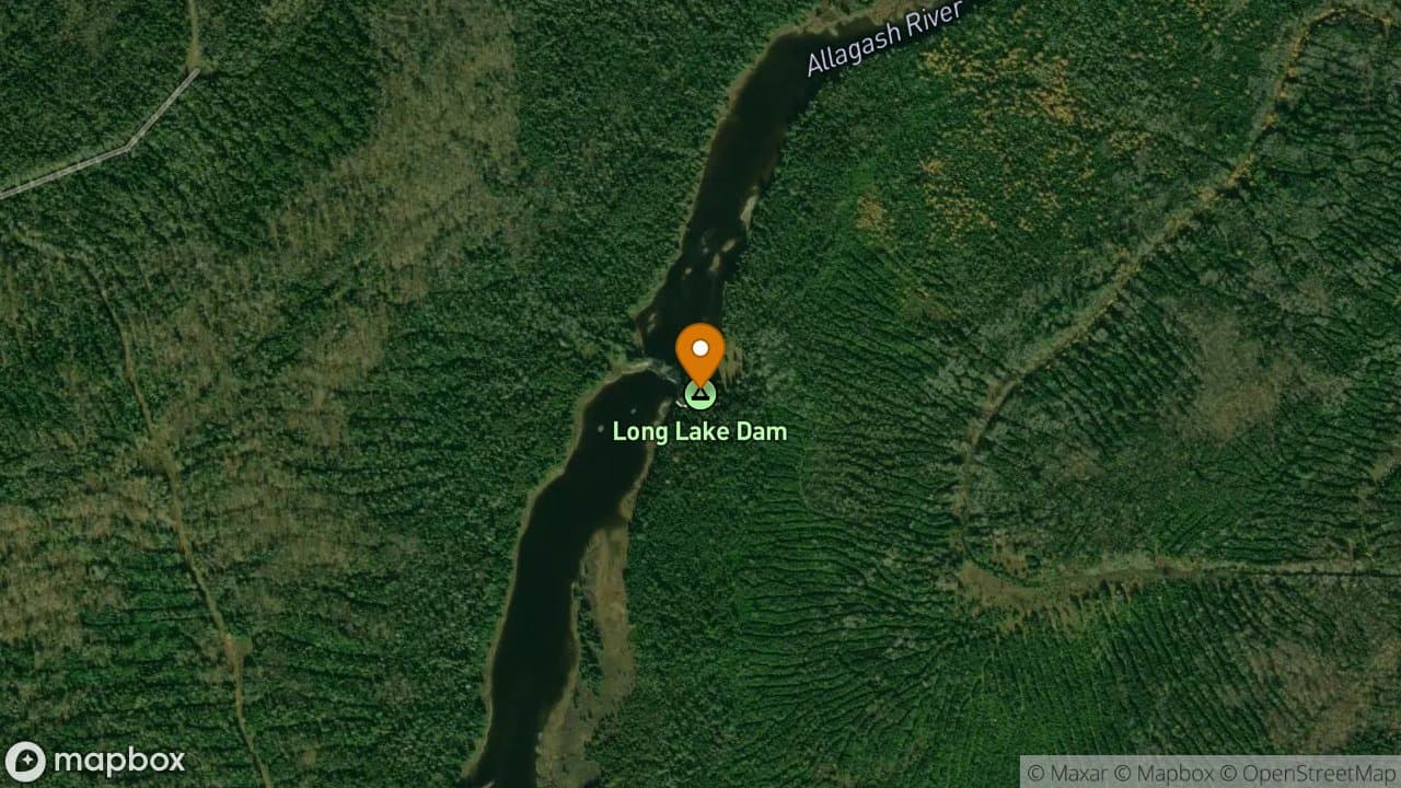
Long Lake Dam
Long Lake Dam prolonged the log driving season for lumber barons sending their wood north to Canadian mills. Use of this dam was discontinued in the 1920's. The structure is mostly washed out. However, the State of Maine still recommends portaging here due to dangerous spikes where the old dam rotted away around them. Long Lake Dam. Circa 1957.
Telos Dam
Telos Dam is an excellent example of a timber crib dam, which were popular during the lumbering era.
Webster Portage Trail
Some parties moving from Telos Lake to Webster Lake choose to portage along this trail rather than run the rapids.
Allagash Lake Gate
This gate prevents motorized vehicle access from 1 mile of Allagash Lake. There is a small parking area near the gate with room to park your vehicle. Beyond the gate is a well maintained trail that wheeled canoe carriers work well on. Shortly before reaching the lake, the trail splits; Go left to the Ranger Station or right to the Carry Trail campsite.
Allagash Lake Ranger Station
This camp is not occupied every day. The ranger stationed here works a rotating 9 day schedule. During the day, the staff may be out patrolling.
Allagash Mountain Tower
There is a hiking trail that leads to the summit of Allagash Mountain that starts near the Allagash Lake Ranger Station. In the cab of the tower, there is a map of the area to aid in identifying landmarks. The view of the south end of Allagash Lake from the Tower.
Allagash Mountain Trail
The Allagash Mountain Trail starts near the Allagash Lake Ranger Station and climbs 2/3rds of a mile to the top of Allagash Mountain. Those seeking a better view can climb the fire tower. There is an oriented map in the fire tower cab to assist in identifying landmarks.
Allagash River Gauge
The Allagash River Gauge is operated by the US Geological Service. It tracks over real time changes in river water levels and converts them to CFS measurements. On the website, scroll down and find the most recent instantaneous value. If this value is: 350-500= The water level is low and there will be lots of dragging over sand bars. You might consider taking out at Michaud Farm Ranger Station. 500-750= There will be some dragging over sand bars but it is still navigable. 750-1000= Ideal for n
Big Eddy Trail
The Big Eddy Trail goes from Churchill Dam by the boarding house to a large pool a mile downriver called the Big Eddy. Fishermen and paddlers use this trail for fishing and for scouting the rapids, respectively. Parties who need Ranger assistance between Churchill Dam and the Big Eddy should use this.
Bissonette Bridge
Bissonette Bridge is a motor vehicle access site. There is a 100 foot path down to the water. This is the point, on river left, where the portage service drops gear off. It is approximately halfway between Churchill Dam and Umsaskis Lake. If starting a trip here, please check in with the first Ranger you encounter. The Bridge washed out years ago. Look instead for the river to narrow and move to the left. There is a pile of rocks on river left where there is a sign on top of the rock pile. Camp
Camp Drake
This camp is not occupied during the day most days. The ranger stationed here works a rotating 8 day schedule, spending most of each work day at Churchill Dam.
Camp Pleasant Ranger Camp
This camp is not occupied during the day most days. The ranger stationed here works a rotating 9 day schedule, spending most of each work day at Churchill Dam.
Carry Trail
This mile long trail runs from the Allagash Lake Gate to Allagash Lake. It is a well maintained trail that wheeled canoe carriers work well on. Shortly before reaching the lake, the trail splits; Go left to the Ranger Station or right to the Carry Trail campsite.
Chamberlain Bridge Ranger Station
Chamberlain Bridge Ranger Station is staffed more frequently than surrounding ranger camps. However, during the day, the staff may be out patrolling the area. If no staff is available, be sure to sign in on the clipboard on the office porch.
Churchill Canoe Launch
This is a motor vehicle access site to the watercourse. All parties launching or disembarking at Churchill Dam should do so near the dock on this side of the dam. There is a short portage along the access road to the dock, across the logging road and down a short hill for those continuing north. Be sure to check in with a Ranger whether you are going up the lake or down the river. There's a portage service available for $10, usually from 8 am until noon during the summer months, to carry people
Churchill Dam Ranger Station
Churchill Dam Ranger Station is staffed most of the summer days. Be certain to check in with the Ranger on duty before going up the lake or down the river. The Ranger on duty may be on a portage to Bissionette Bridge when you arrive. When Churchill Depot was a thriving community, the forest operation Superintendent had his house near where the Ranger Station is today.
Churchill Depot History Center
The Churchill Depot History Center explores the history of the entire Waterway in part of the storehouse from King LaCroix's days. There are artifacts gathered from all over the Waterway such as a restored Belly Dump Wagon from Long Lake Dam, a velicopede used at the Locomotives, and photographs and stories. The History Center is open most days during the summer and fall while a ranger is on duty at Churchill. The Entrance to the History Center. A Glimpse of Some of the Artifacts inside the Hist
Eagle Lake Ranger Station
This camp is not occupied every day. The ranger stationed here works a rotating 9 day schedule. During the day, the ranger may also be out patrolling.
Finley Bogan
This is one of nine motor vehicle access sites along the Allagash Wilderness Waterway. Please check in with the first Ranger you encounter.
Kellog Brook Camp
This camp is not occupied every day. The rangers stationed here work a rotating 9 day schedule. If no one is available at night at the Chamberlain Bridge Ranger Station, you may be able to find one here. During the day, the staff may be out patrolling.
Michaud Farm Ranger Station
Michaud Farm Ranger Station is staffed throughout the summer. Half of the time, the Ranger does not stay here overnight. During the day, the Rangers may be out patrolling the area. If no staff is available, please use the clipboard on the office porch to sign out of the Allagash Waterway. There is a canoe storage area available here. The area around Michaud Farm used to be a farm and supply depot in the early 1900's.
Round Pond Ranger Camp
This camp is not occupied every day. The ranger stationed here works a rotating 9 day schedule. During the day, the staff may be out patrolling.
Umsaskis Ranger Station
This camp is not occupied every day. The ranger stationed here works a rotating 9 day schedule. During the day, the staff may be out patrolling.
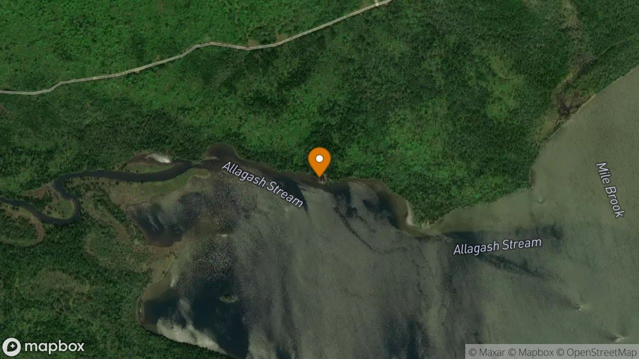
Allagash Stream Bridge
Accessing the Allagash Wilderness Waterway is prohibited at this location.
Chamberlain Bridge Aircraft Access Site
This is 1 of 7 aircraft access sites along the Allagash Wilderness Waterway. Note that aircraft may land on frozen bodies of water within the One Mile Area, except for Allagash Lake.
Chamberlain Bridge Watercraft Storage
Watercraft Storage is available here.
Chamberlain Thoroughfare Bridge
A view of Chamberlain Bridge with the Katahdin range in the background.
Henderson Bridge
Jumping or diving from the bridge is prohibited here.
Henderson Bridge Canoe Launch
Motor vehicle access to the watercourse is allowed here.
Johns Bridge
Access at Johns Bridge is permitted as an access point for Day Use trips during May and September only. It is a hand carry launch only, of about 10 feet. Permits are available at the landing and need to be utilized for your access to be legal here. Johns Bridge was built in the 1950s by the Gilman Brothers and has become essential for the movement of harvested wood from the surrounding forest.
Umsaskis Bridge
Jumping or diving from the bridge is prohibited here.
Camp Drake Aircraft Access Site
This is 1 of 7 aircraft access sites along the Allagash Wilderness Waterway. Note that aircraft may land on frozen bodies of water within the One Mile Area, except for Allagash Lake.
Churchill Dam Aircraft Access Site
This is 1 of 7 aircraft access sites along the Allagash Wilderness Waterway. Note that aircraft may land on frozen bodies of water within the One Mile Area, except for Allagash Lake.
Jalbert's Camps Aircraft Access Site
This is 1 of 7 aircraft access sites along the Allagash Wilderness Waterway. Note that aircraft may land on frozen bodies of water within the One Mile Area, except for Allagash Lake.
Lock Dam Aircraft Access Site
This is 1 of 7 aircraft access sites along the Allagash Wilderness Waterway. Note that aircraft may land on frozen bodies of water within the One Mile Area, except for Allagash Lake.
Nugent's Camps Aircraft Access Site
This is 1 of 7 aircraft access sites along the Allagash Wilderness Waterway. Note that aircraft may land on frozen bodies of water within the One Mile Area, except for Allagash Lake.
Webster Inlet Aircraft Access Site
This is 1 of 7 aircraft access sites along the Allagash Wilderness Waterway. Note that aircraft may land on frozen bodies of water within the One Mile Area, except for Allagash Lake.
Indian Stream Canoe Storage
Canoe Storage is available here. It is popular in the spring with fishermen accessing Eagle Lake at Indian Stream.
Allagash Wilderness Waterway
Allagash Falls Campsite offers four very nice sites with spectacular views of th...
4 sites·$6.54-$13.08/night
Allagash Wilderness Waterway
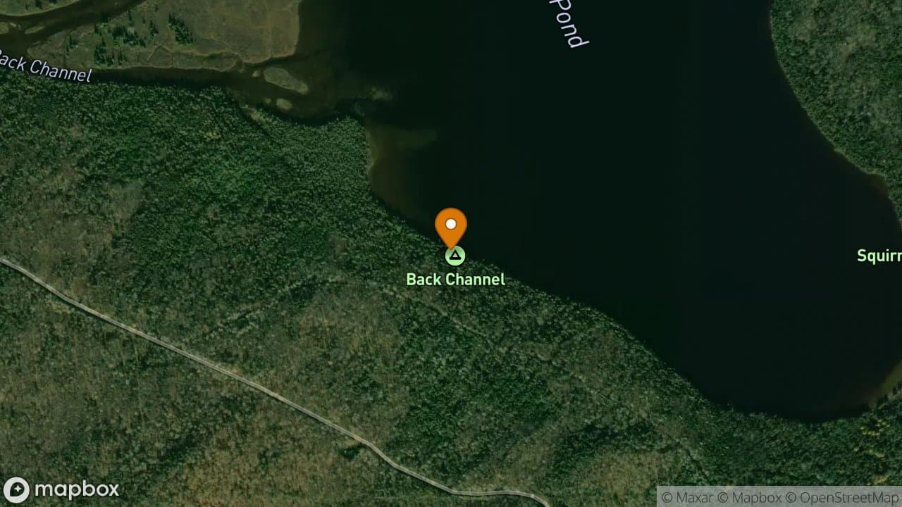
Back Channel Campsite is the first campsite on the right as you enter Round Pond...
2 sites·$6.54-$13.08/night
Allagash Wilderness Waterway
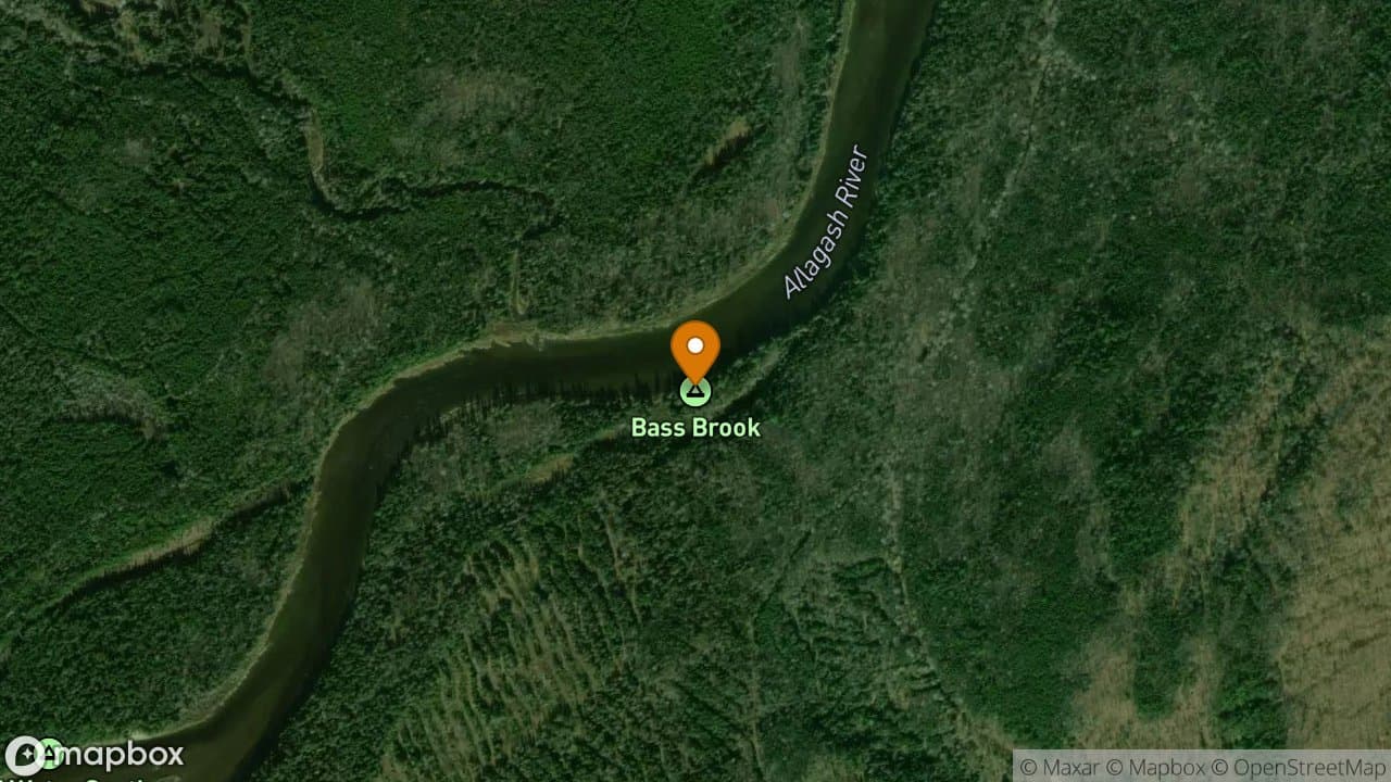
Bass Brook Campsite is a cozy small site. It can get buggy at times and the sun...
1 site·$6.54-$13.08/night
Allagash Wilderness Waterway
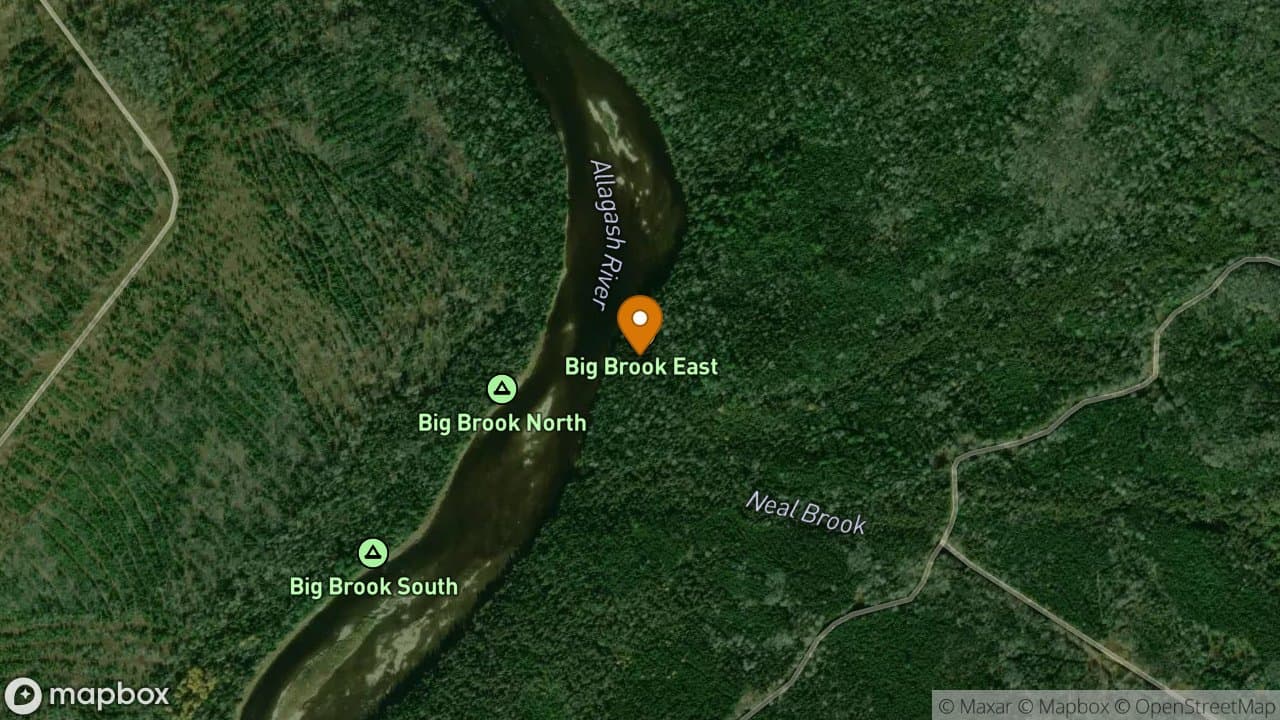
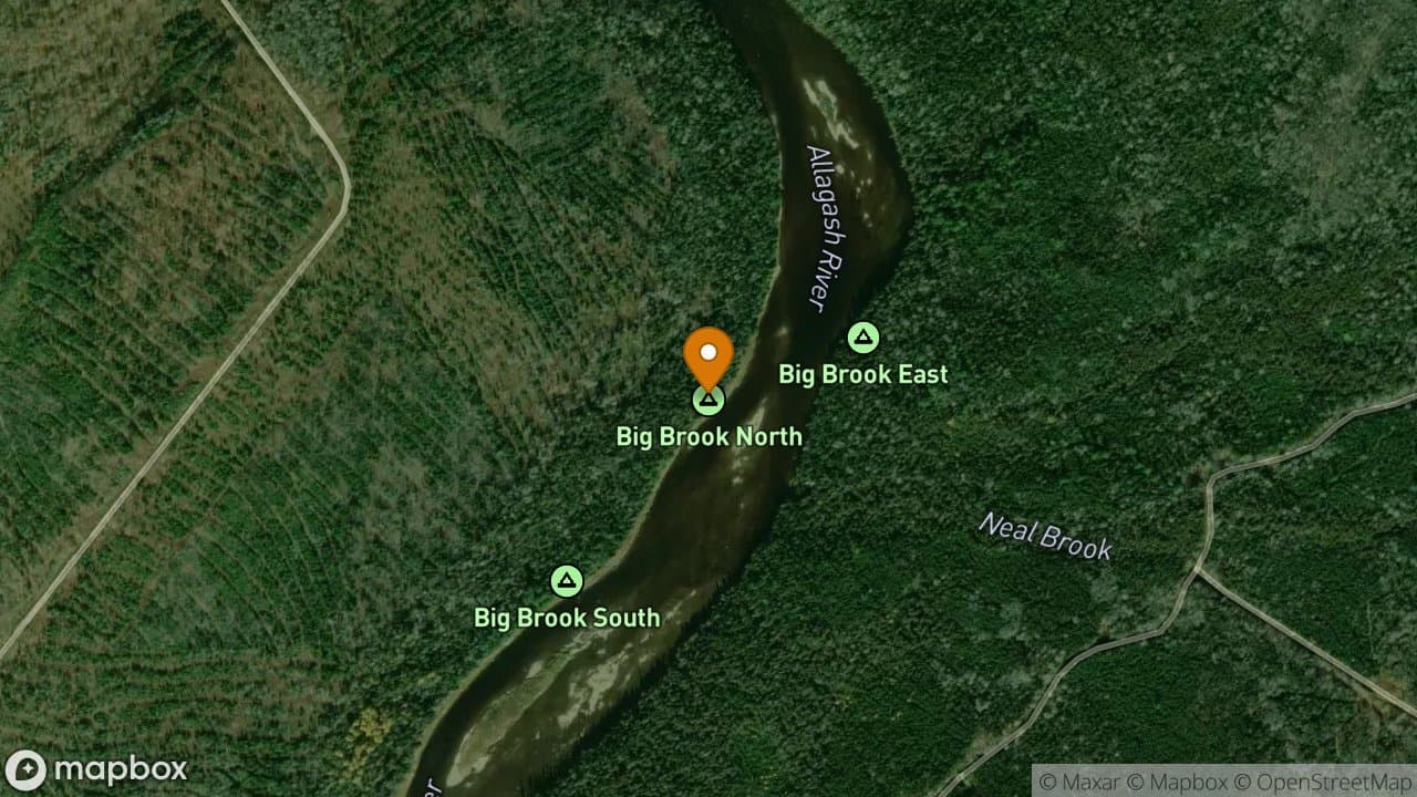
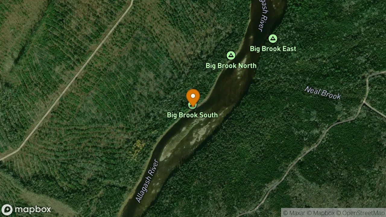
Big Brook East Campsite is a dry and flat campsite. There is also a high bank he...
2 sites·$6.54-$13.08/night
Allagash Wilderness Waterway
Big Brook North Campsite is shaded and dry. It can be buggy when there is no bre...
1 site·$6.54-$13.08/night
Allagash Wilderness Waterway
Big Brook South is dry and flat with a good view.
1 site·$6.54-$13.08/night
Allagash Wilderness Waterway
Boy Scout Campsite can be very busy with people arriving later in the day who ar...
3 sites·$6.54-$13.08/night
Allagash Wilderness Waterway
Breezy Point Campsite is new, established in 2017. The site is located at a natu...
1 site·$6.54-$13.08/night
Allagash Wilderness Waterway
Carry Trail Campsite has two sites located approximately 1 mile from the gate on...
2 sites·$6.54-$13.08/night
Allagash Wilderness Waterway
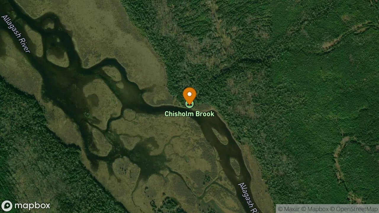
Chisholm Brook Campsite is on river right prior to entering Umsaskis Lake. This...
3 sites·$6.54-$13.08/night
Allagash Wilderness Waterway
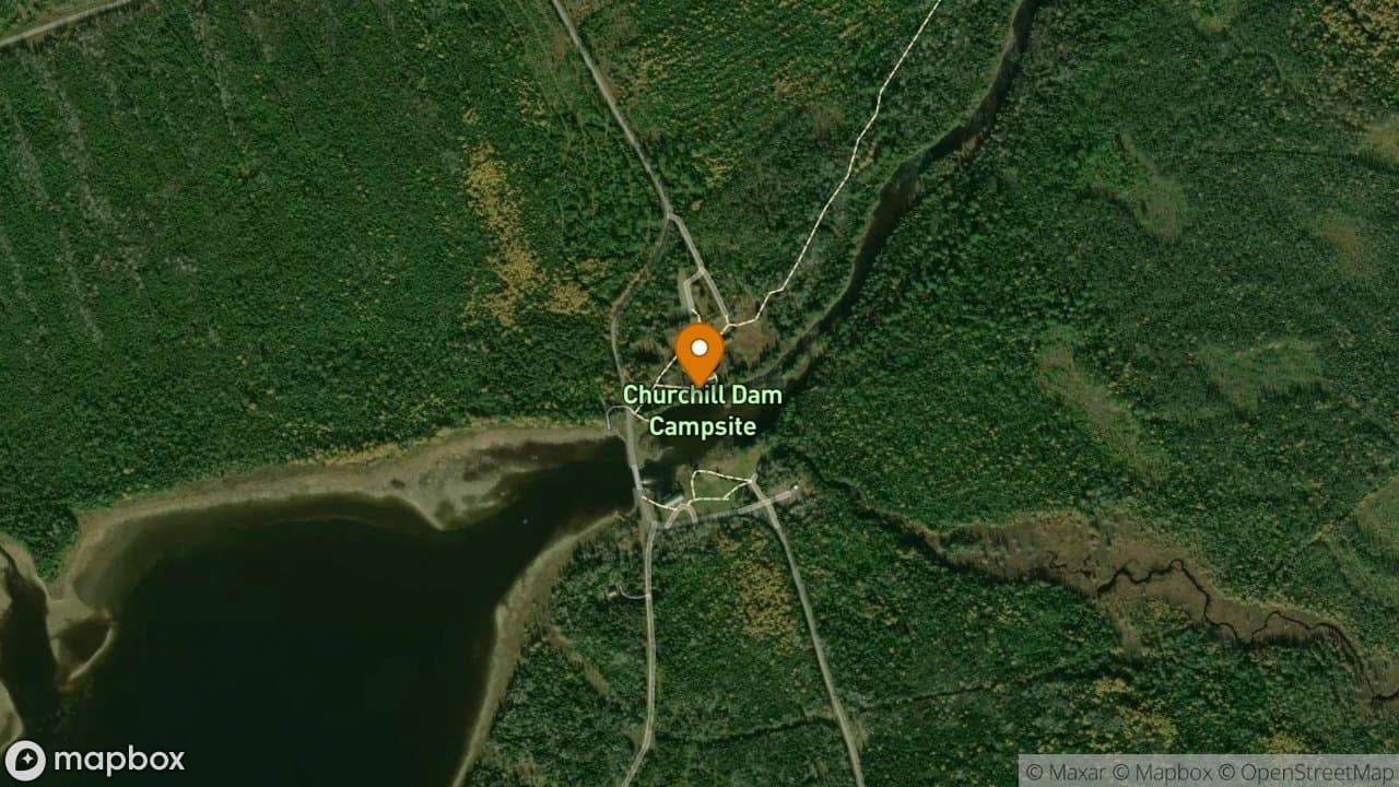
Churchill Dam Campsite has a handicap accessible campsite and outhouse. Be sure...
4 sites·$6.54-$13.08/night
Allagash Wilderness Waterway
Churchill Ridge Campsite is a nice private spot near one of the busiest campsite...
1 site·$6.54-$13.08/night
Allagash Wilderness Waterway
Cove Campsite is located on the west shore of Allagash Lake and can be a little...
1 site·$6.54-$13.08/night
Allagash Wilderness Waterway
Both sites offer nice, flat, grassy areas with plenty of space for pitching tent...
2 sites·$6.54-$13.08/night
Allagash Wilderness Waterway
Crow's Nest Campsite offers plenty of tent space. It is a grassy site with the l...
1 site·$6.54-$13.08/night
Allagash Wilderness Waterway
There is a lot of protection from the wind here. It is a grassy flat site on riv...
2 sites·$6.54-$13.08/night
Allagash Wilderness Waterway
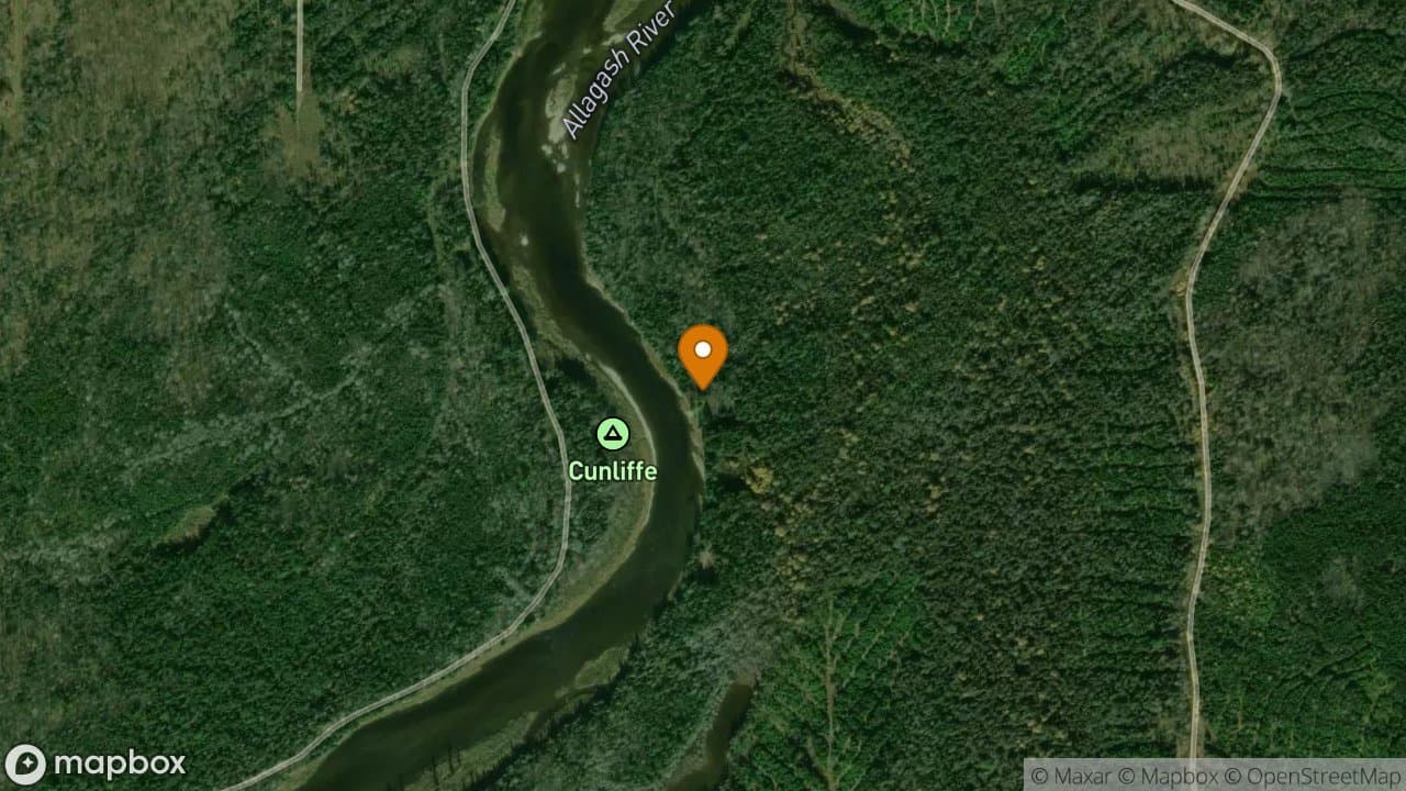
Cunliffe Depot Campsite sits on the site of Mr. Cunliffe's lumbering operation m...
1 site·$6.54-$13.08/night
Allagash Wilderness Waterway
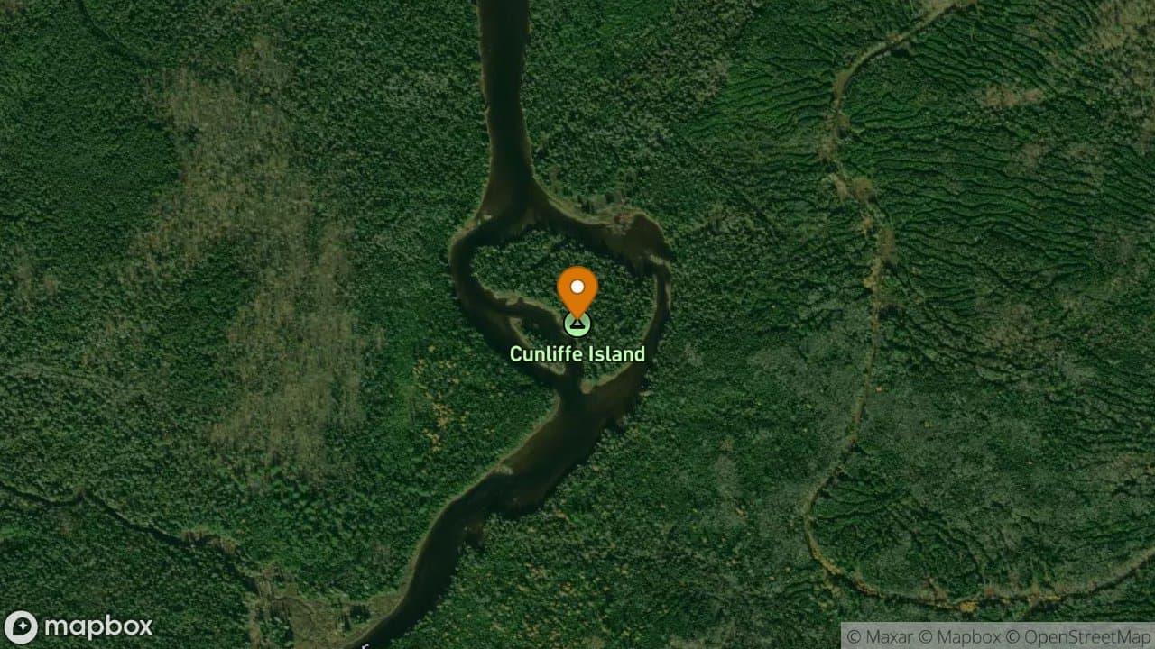
Cunliffe Island Campsite is one mile below Long Lake Dam located on river right....
1 site·$6.54-$13.08/night
Allagash Wilderness Waterway
Deadwater North Campsite has an outstanding view looking upstream. Moose come ou...
1 site·$6.54-$13.08/night
Allagash Wilderness Waterway
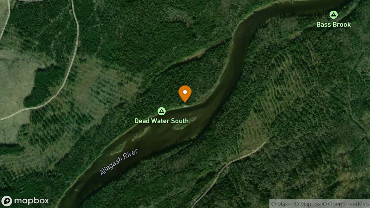
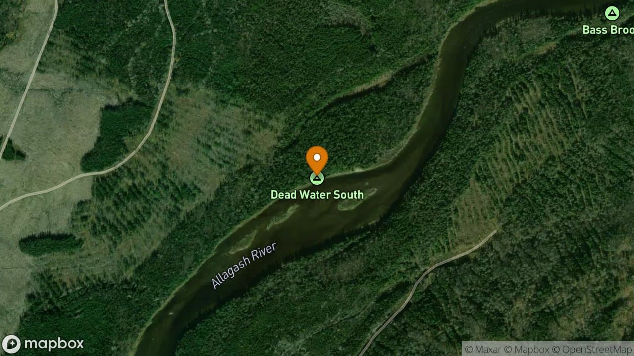
Deadwater South Campsite has an outstanding view looking upstream with a couple...
1 site·$6.54-$13.08/night
Allagash Wilderness Waterway
Donnelly Point Campsite offers outstanding views of the Katahdin range and aweso...
2 sites·$6.54-$13.08/night
Allagash Wilderness Waterway
East Twin Brook Campsite is a dry and flat campsite. This site can be very busy...
1 site·$6.54-$13.08/night
Allagash Wilderness Waterway
Ede's Campsite is located on the east shore of the lake, a short paddle from the...
1 site·$6.54-$13.08/night
Allagash Wilderness Waterway
Ellis Brook Campsite is very nice for two groups. It may be challenging to fit a...
2 sites·$6.54-$13.08/night
Allagash Wilderness Waterway
F.W. Ayer is a handicap accessible campsite located behind the northeast corner...
1 site·$6.54-$13.08/night
Allagash Wilderness Waterway
Falls Bank Campsite is a small site on the west side of the river a short distan...
1 site·$6.54-$13.08/night
Allagash Wilderness Waterway
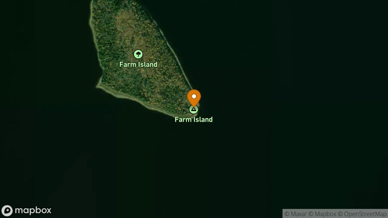
Farm Island Campsite is popular with fishermen because of its beach, the protect...
2 sites·$6.54-$13.08/night

Allagash Wilderness Waterway
Field Campsite is a very flat campsite that is surrounded by red pines with plen...
1 site·$6.54-$13.08/night
Allagash Wilderness Waterway
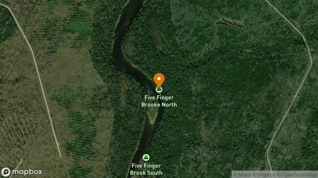
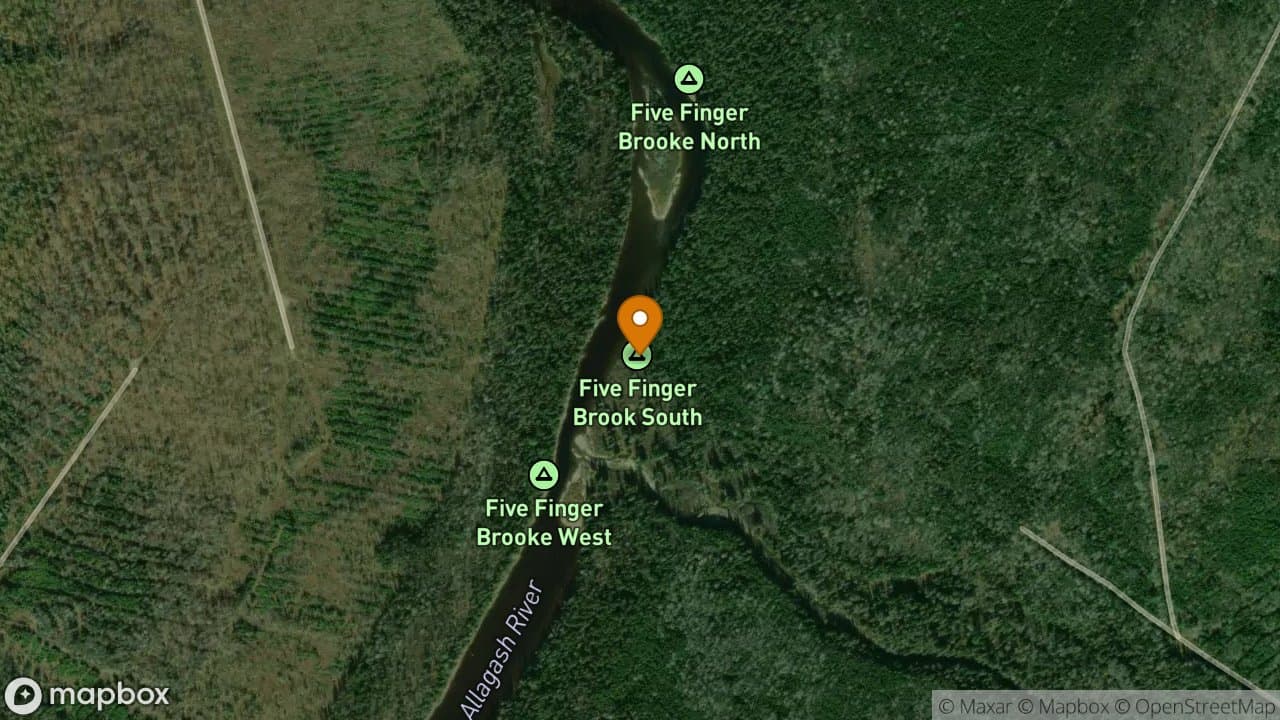
Five Finger North Campsite sits adjacent to an old lumbering camp and directly b...
1 site·$6.54-$13.08/night
Allagash Wilderness Waterway
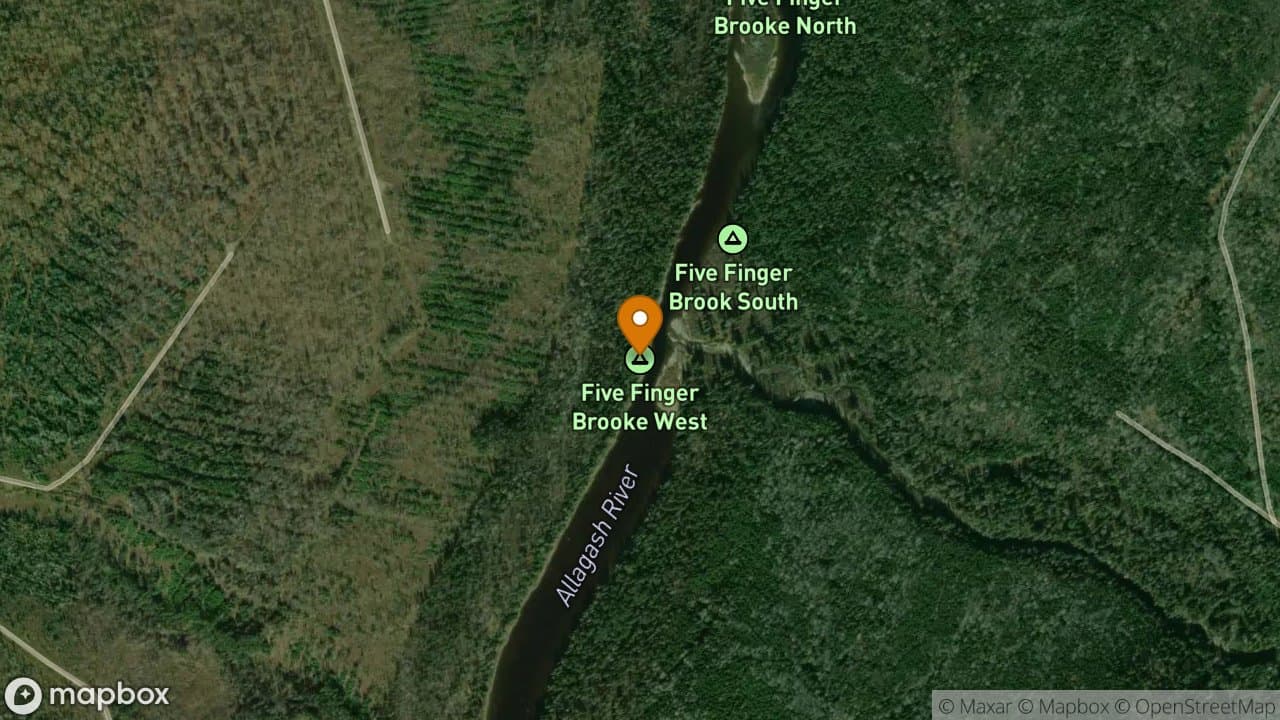
Five Finger South Campsite is a flat site with a small grassy clearing next to t...
1 site·$6.54-$13.08/night
Allagash Wilderness Waterway
Five Finger West Campsite is dominated by towering white pine trees. In high wat...
1 site·$6.54-$13.08/night
Allagash Wilderness Waterway
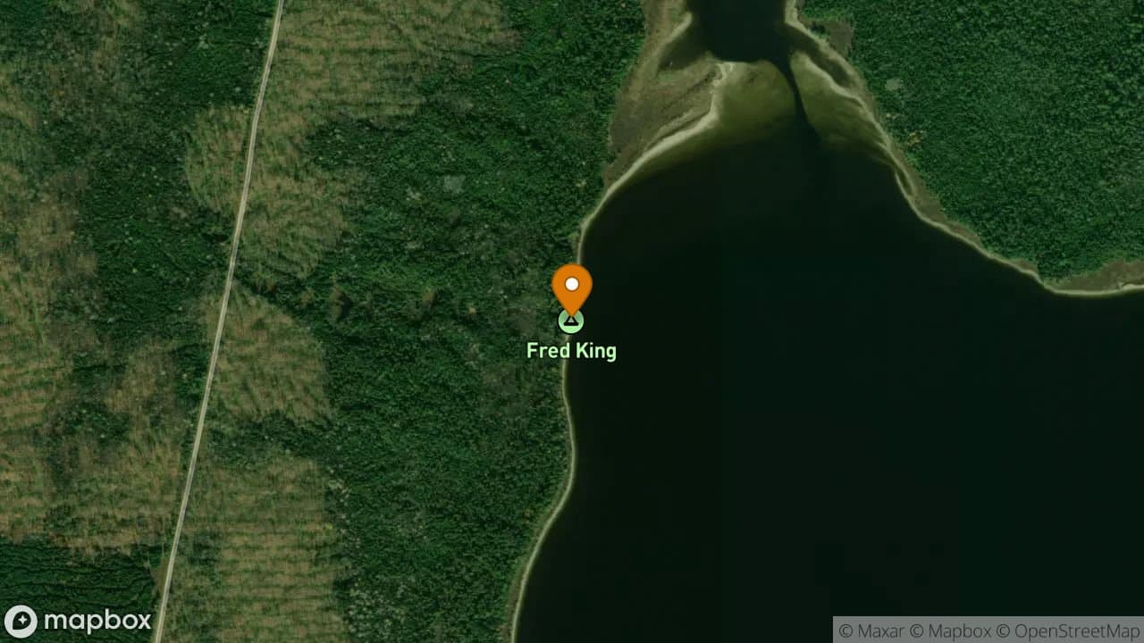
Fred King Campsite is lightly used during mid-summer because it is out of the di...
1 site·$6.54-$13.08/night
Allagash Wilderness Waterway
Gravel Beach Campsite is located on the west shore of Chamberlain Lake overlooki...
3 sites·$6.54-$13.08/night
Allagash Wilderness Waterway
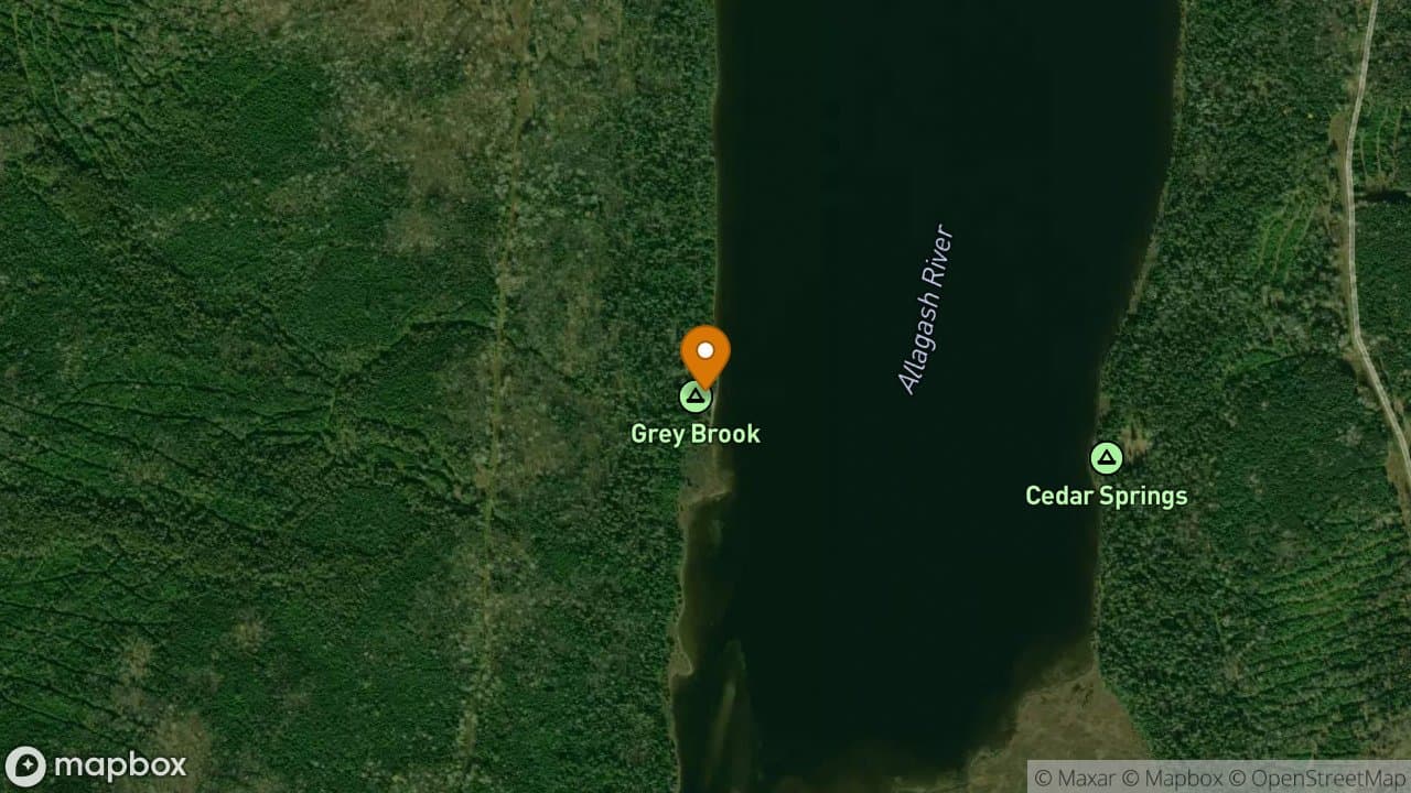
Grey Brook Campsite is located on the west shore, near the inlet of Long Lake. T...
1 site·$6.54-$13.08/night

Allagash Wilderness Waterway
1 site·$6.54-$13.08/night
Allagash Wilderness Waterway
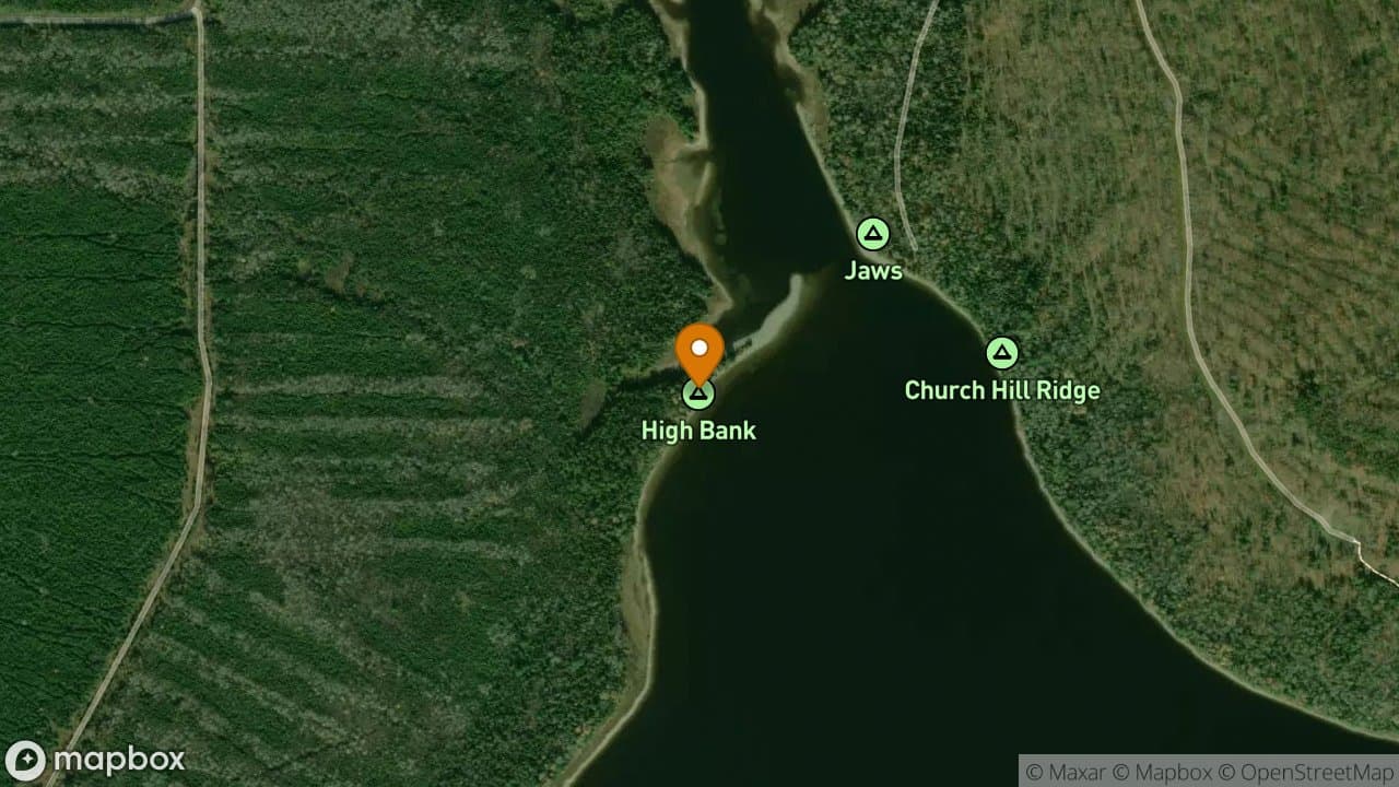
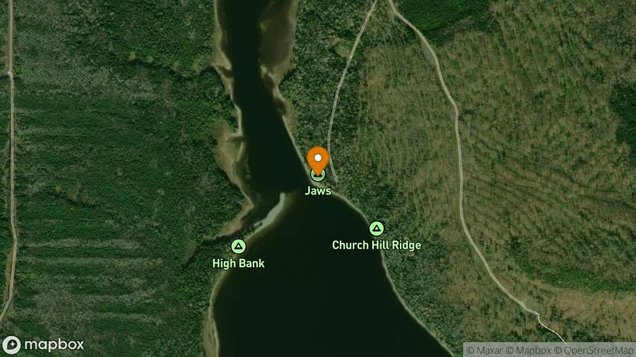
High Bank Campsite has a sandy bar that juts from the north end of the campsite....
1 site·$6.54-$13.08/night
Allagash Wilderness Waterway
High Bank Campsite is about two miles south from the boat launch at Chamberlain...
2 sites·$6.54-$13.08/night
Allagash Wilderness Waterway
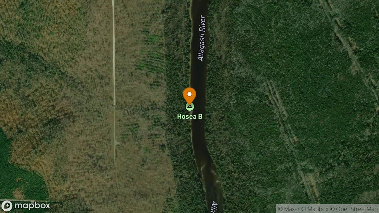
Hosea-B Campsite has a nice sloping grassy bank down to the river and a small br...
1 site·$6.54-$13.08/night
Allagash Wilderness Waterway
Ice Cave Campsite is located a short paddle from the inlet of Allagash Lake on a...
2 sites·$6.54-$13.08/night
Allagash Wilderness Waterway
Inlet Campsite is on the left as you enter Round Pond. It is in the direct line...
2 sites·$6.54-$13.08/night
Allagash Wilderness Waterway
Island Campsite is located on the east side of Allagash Lake behind the islands...
1 site·$6.54-$13.08/night
Allagash Wilderness Waterway
Jalbert Campsite is located on a gravel point on the east shore of Long Lake. Th...
1 site·$6.54-$13.08/night
Allagash Wilderness Waterway
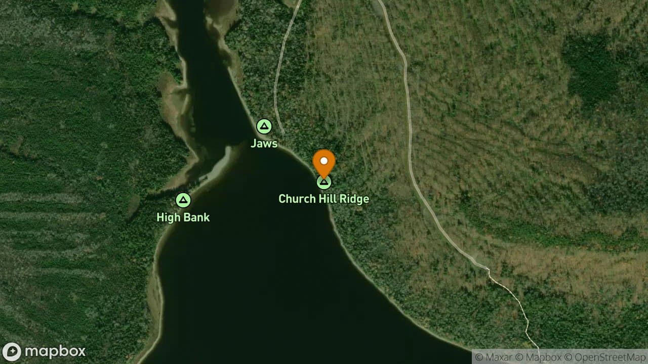
Jaws Campsite is a very popular campsite because it is in the direct line of tra...
4 sites·$6.54-$13.08/night
Allagash Wilderness Waterway
Ledge Point Campsite is the first campsite on the left as you enter Allagash Lak...
3 sites·$6.54-$13.08/night
Allagash Wilderness Waterway
Ledge Point Campsite offers a small protected cove that makes a nice landing sit...
1 site·$6.54-$13.08/night

Allagash Wilderness Waterway
The Ledges Campsite is located next to a high ledge outcropping that protrudes f...
2 sites·$6.54-$13.08/night
Allagash Wilderness Waterway
Little Allagash Falls Campsite can be located by paddling towards the sound of t...
3 sites·$6.54-$13.08/night
Allagash Wilderness Waterway
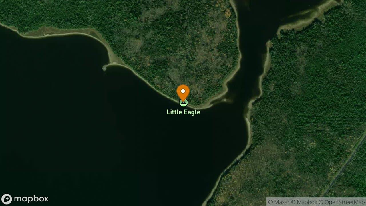
Little Eagle Campsite has a pebbly beach in front of the site. This campsite is...
2 sites·$6.54-$13.08/night

Allagash Wilderness Waterway
This is a popular campsite because it is the primary travel route for groups doi...
3 sites·$6.54-$13.08/night
Allagash Wilderness Waterway
Lone Pine Campsite is the closest site to Russell Beach and Russell Stream. Ther...
1 site·$6.54-$13.08/night
Allagash Wilderness Waterway
Long Lake Dam Campsite has two large grassy sites suitable for large groups. The...
2 sites·$6.54-$13.08/night
Allagash Wilderness Waterway
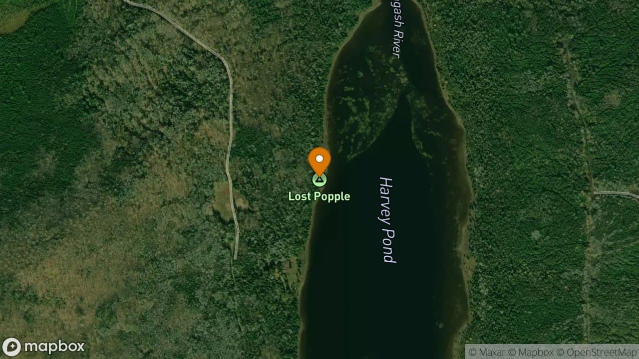
Lost Popple Campsite is located on the west shore of Harvey Pond about a mile be...
1 site·$6.54-$13.08/night
Allagash Wilderness Waterway
Lost Spring Campsite is a very nice site for a single group. It is situated very...
1 site·$6.54-$13.08/night
Allagash Wilderness Waterway
McCarren Campsite is located in the woods a short distance from the beach. While...
1 site·$6.54-$13.08/night
Allagash Wilderness Waterway
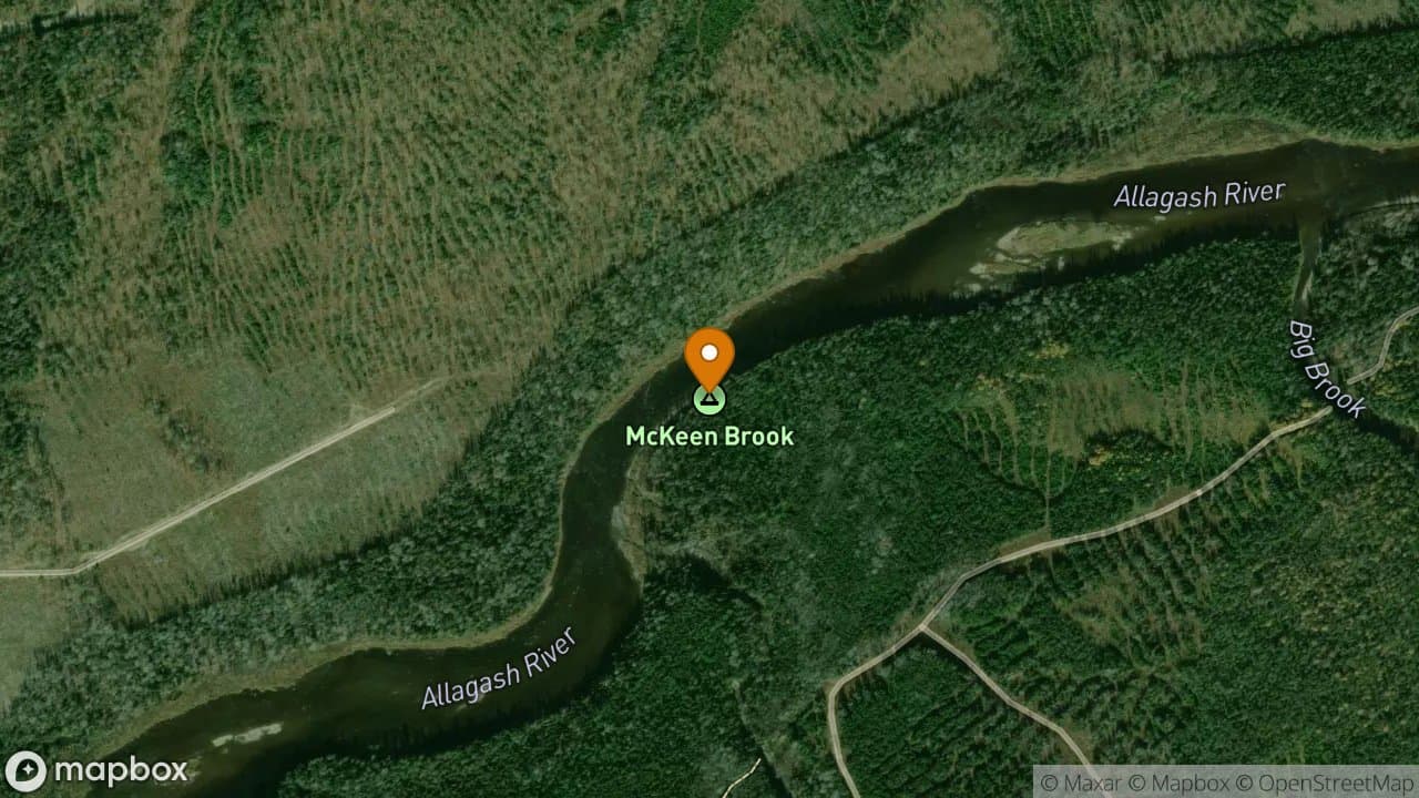
McKeen Brook Campsite is very nice and dry but is difficult to access because of...
2 sites·$6.54-$13.08/night
Allagash Wilderness Waterway
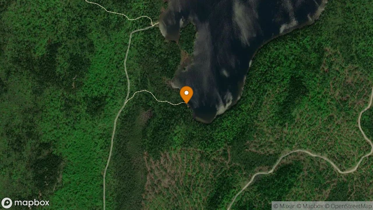
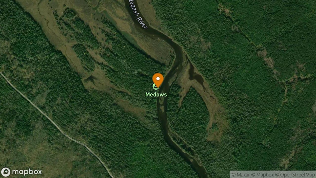
Meadows Campsite is located on river left just before entering Umsaskis Lake. It...
1 site·$6.54-$13.08/night
Allagash Wilderness Waterway
Michaud Farm Campsite is a flat, grassy, shaded site. The site is located near t...
1 site·$6.54-$13.08/night
Allagash Wilderness Waterway
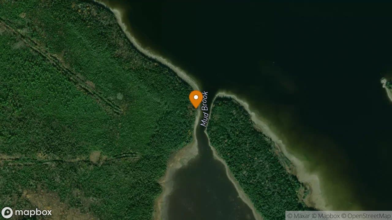
Mud Brook Campsite has a nice flat grassy area on a sandy point in front of the...
1 site·$6.54-$13.08/night
Allagash Wilderness Waterway
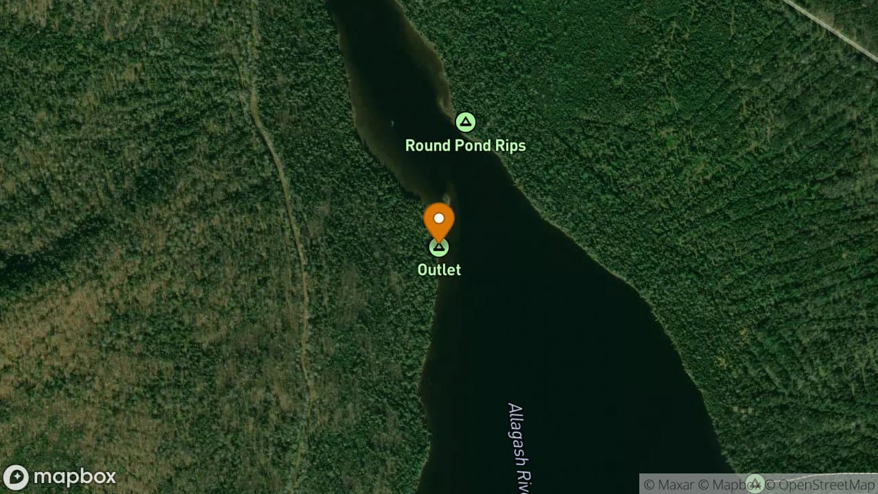
Outlet Campsite is a very popular campsite because it is in the direct line of t...
1 site·$6.54-$13.08/night
Allagash Wilderness Waterway
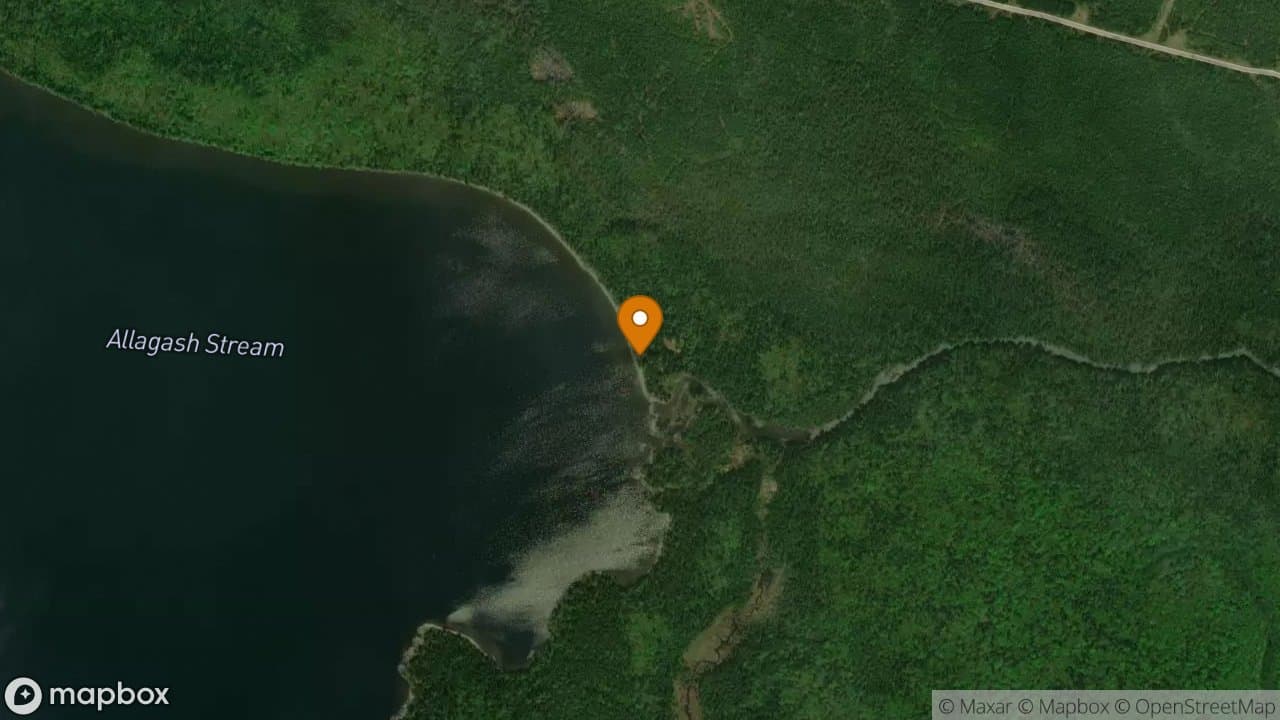
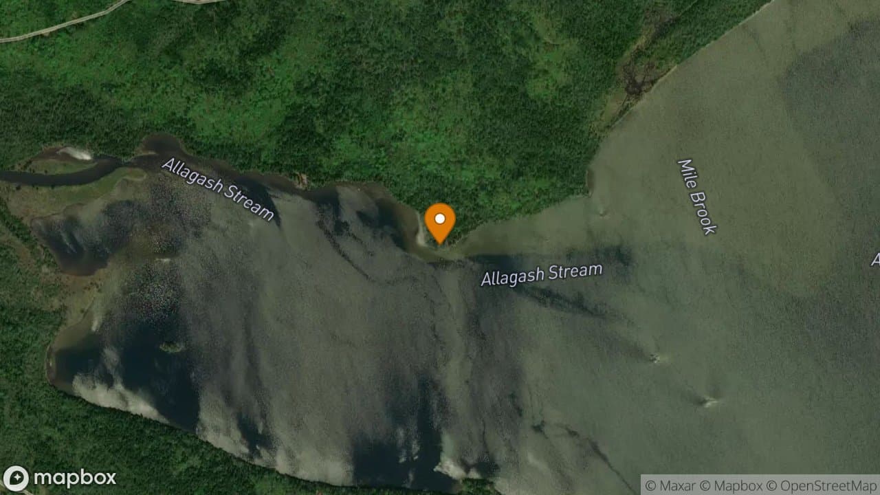
Outlet Campsite is located where Allagash Stream exits the lake in the northeast...
2 sites·$6.54-$13.08/night
Allagash Wilderness Waterway
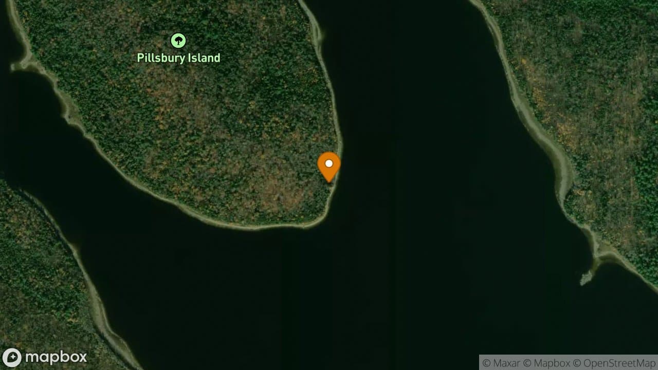
Pillsbury Island Campsite is a very nice campsite that is protected from the pre...
3 sites·$6.54-$13.08/night
Allagash Wilderness Waterway
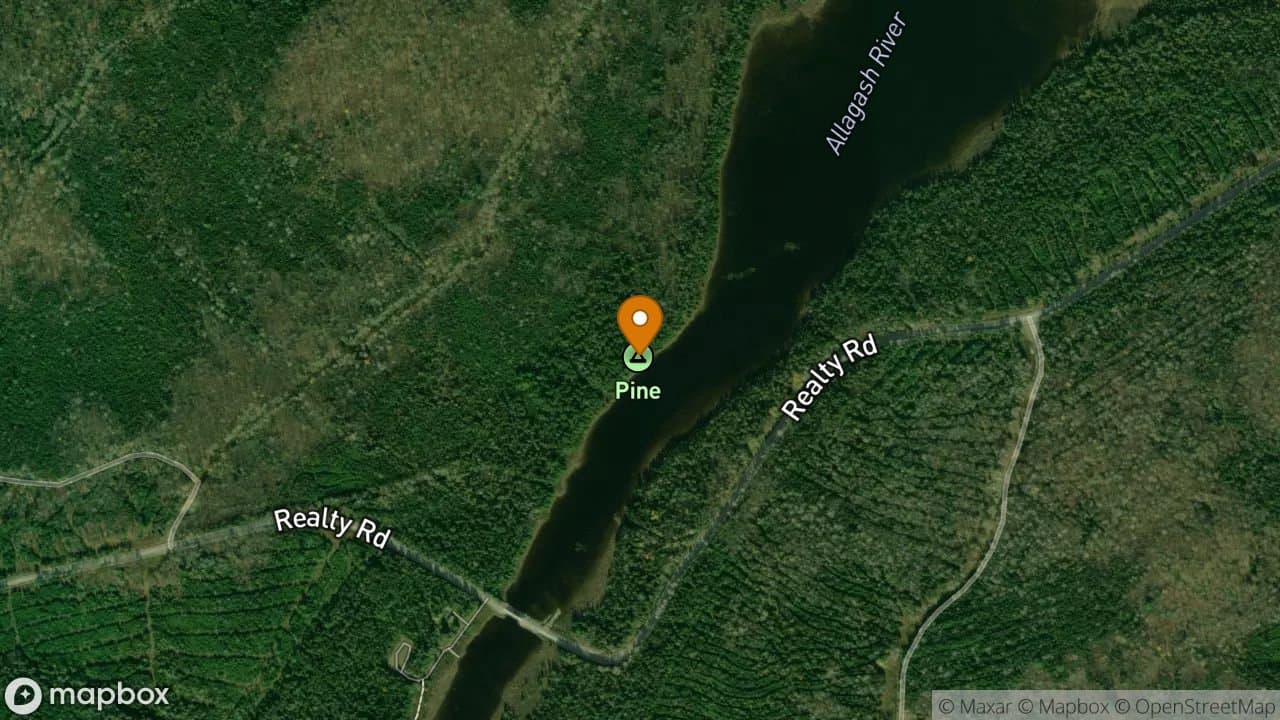
Pine Campsite is located in the thoroughfare between Umsaskis and Long Lake on t...
1 site·$6.54-$13.08/night
Allagash Wilderness Waterway
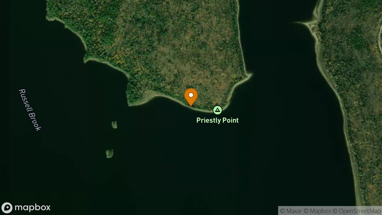
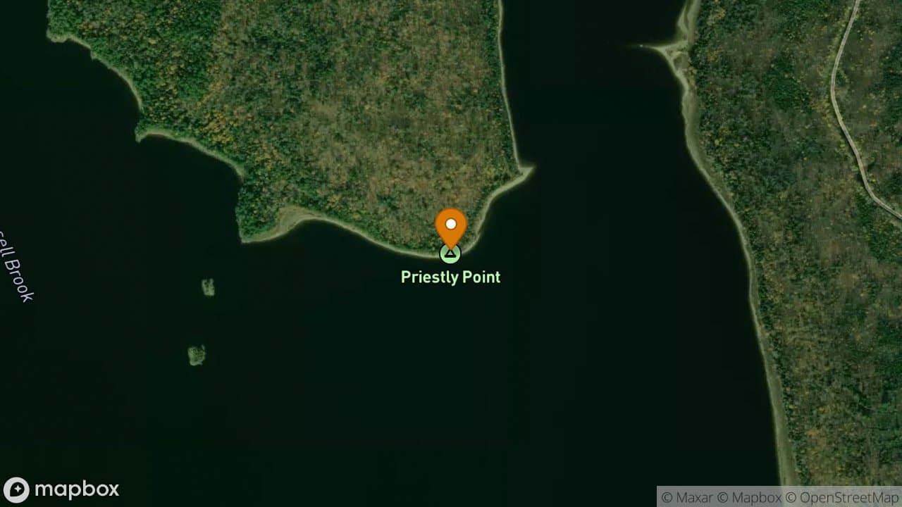
Priestly Point Campsites offers grassy sites with plenty of tent space. This sit...
2 sites·$6.54-$13.08/night
Allagash Wilderness Waterway
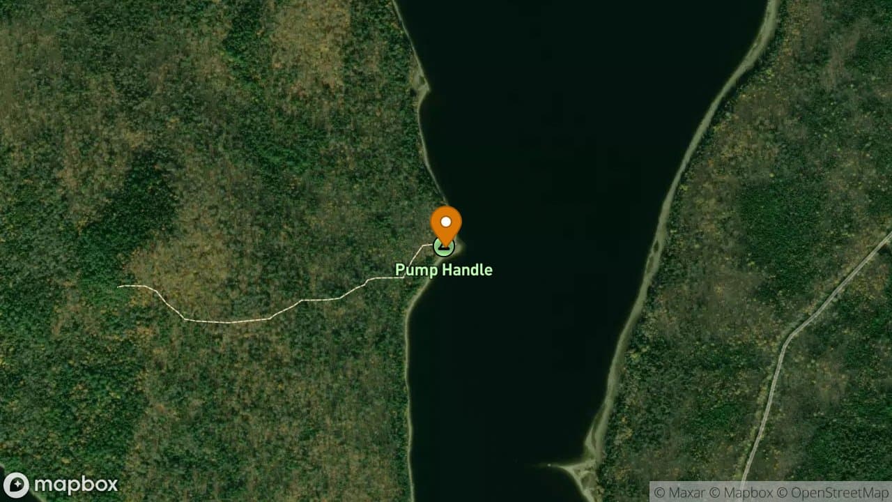
Pumphandle Campsite is popular with fishermen because of its central location on...
2 sites·$6.54-$13.08/night
Allagash Wilderness Waterway
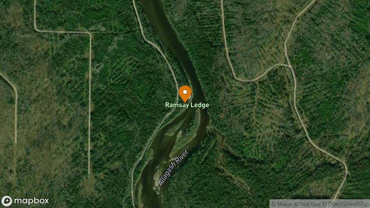
Ramsay Ledges Campsite is the only campsite on the waterway that is a drive-on v...
3 sites·$6.54-$13.08/night
Allagash Wilderness Waterway
Rocky Cove Campsite and cove offers great protection from a north wind but the s...
1 site·$6.54-$13.08/night
Allagash Wilderness Waterway
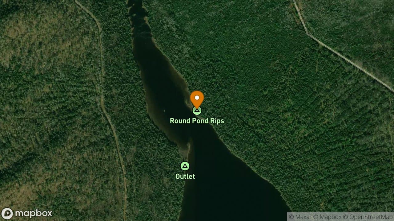
Round Pond Rips Campsite is a cozy, one group campsite. It is close to good fish...
1 site·$6.54-$13.08/night
Allagash Wilderness Waterway
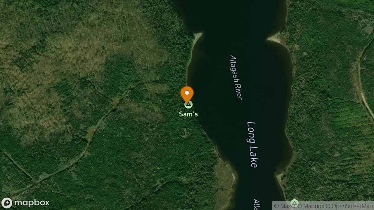
Sams Campsite is located on the west shore of Long Lake with a nice sandy beach...
1 site·$6.54-$13.08/night
Allagash Wilderness Waterway
Sandy Point Campsite is a short paddle from the inlet of Allagash Lake on the no...
2 sites·$6.54-$13.08/night
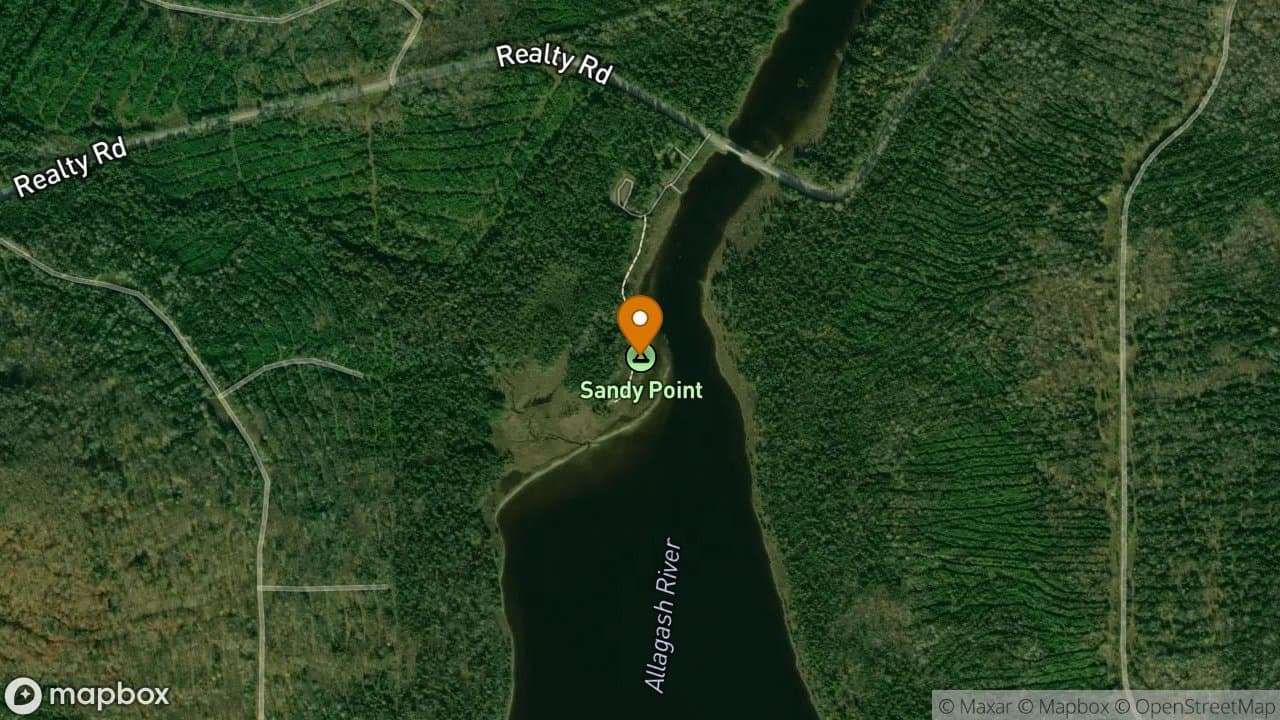
Allagash Wilderness Waterway
Sandy Point Campsite is located near the boat launch and ranger station at the o...
3 sites·$6.54-$13.08/night
Allagash Wilderness Waterway
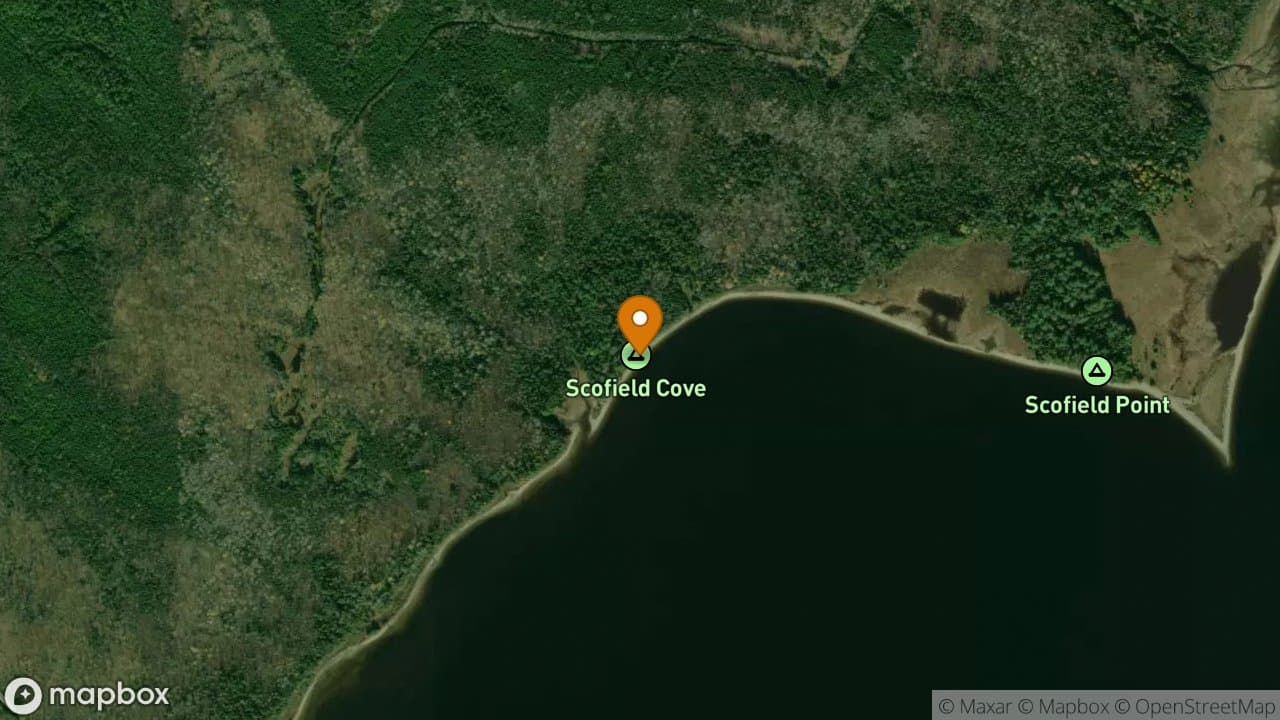
Scofield Cove Campsite has a sandy beach and good vegetative screening between s...
2 sites·$6.54-$13.08/night
Allagash Wilderness Waterway
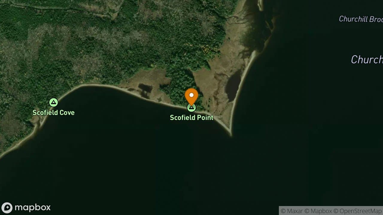
Scofield Point Campsite is an extremely popular campsite. It is located next to...
3 sites·$6.54-$13.08/night
Allagash Wilderness Waterway
Shady Campsite is a nice site that offers a view of Katahdin from the landing. I...
1 site·$6.54-$13.08/night
Allagash Wilderness Waterway
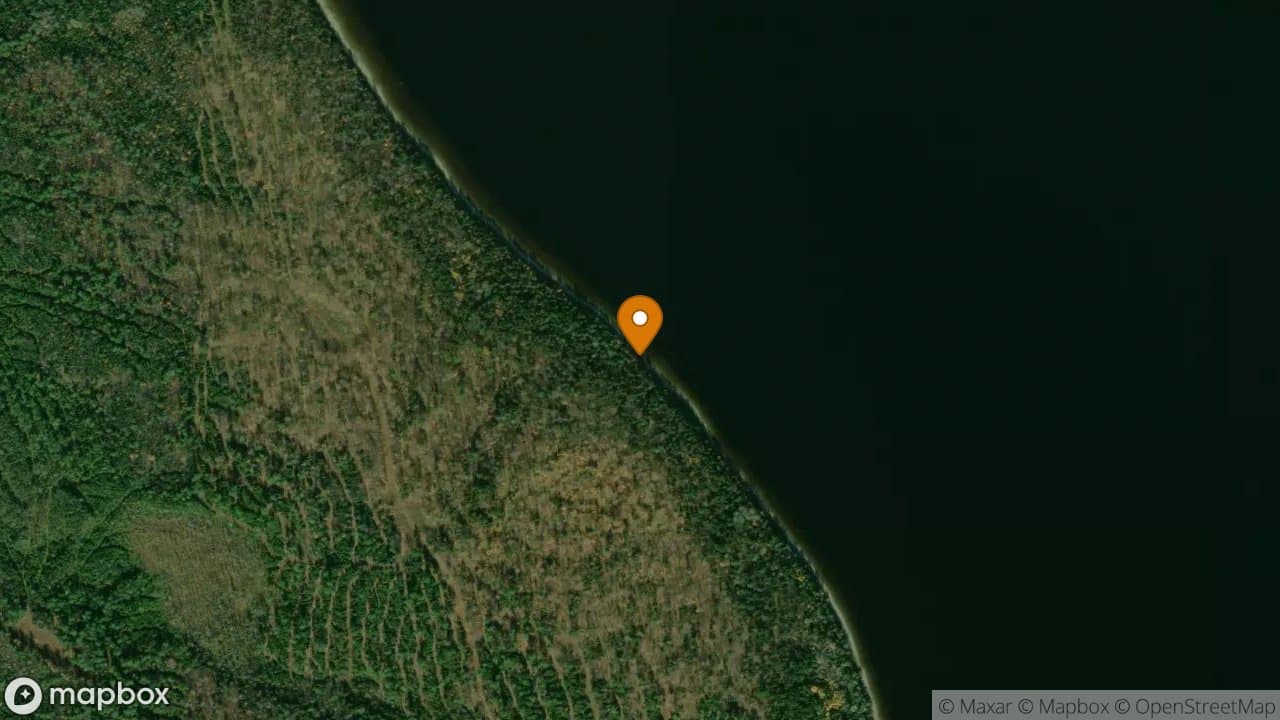
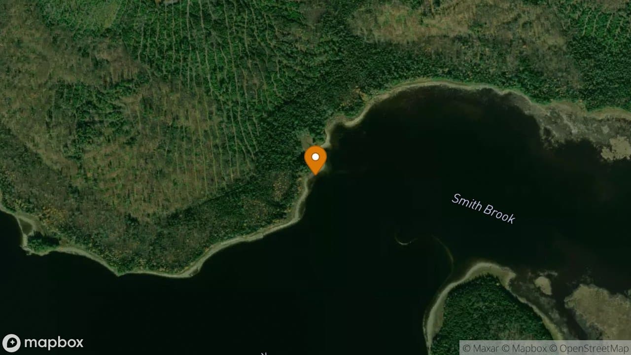
Smith Brook Campsite offers a sandy beach that wraps around the site. The outhou...
1 site·$6.54-$13.08/night

Allagash Wilderness Waterway
Squirrel Pocket campsite is tucked into the southeastern cove of Round Pond. The...
1 site·$6.54-$13.08/night
Allagash Wilderness Waterway
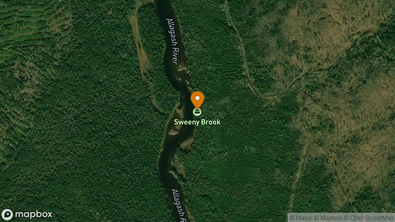
Sweeney Brook Campsite is located on river right two miles below Long Lake Dam....
1 site·$6.54-$13.08/night
Allagash Wilderness Waterway
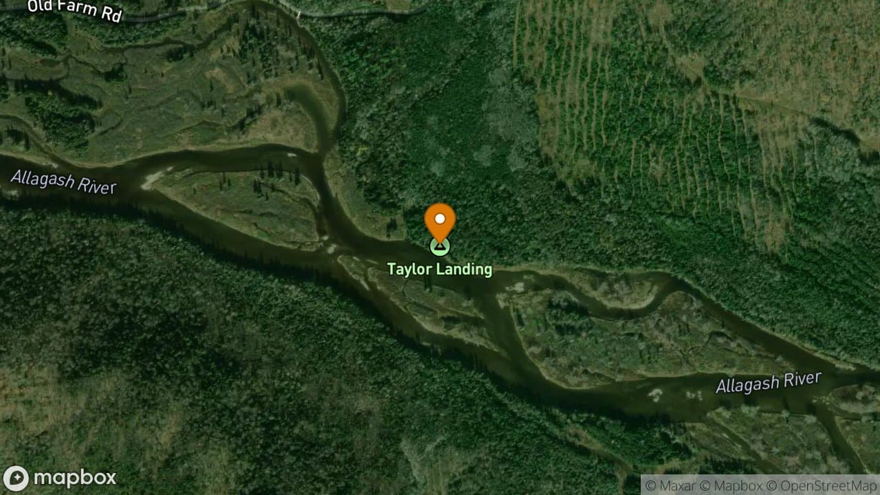
Taylor Landing Campsite is flat, grassy and dry site. There is a nice open fores...
1 site·$6.54-$13.08/night
Allagash Wilderness Waterway
Telos Landing has a very large, flat, grassy area making it nice for camping. It...
1 site·$6.54-$13.08/night
Allagash Wilderness Waterway
The Arm Campsite is popular site for spring fishing parties. The sandy beach dro...
1 site·$6.54-$13.08/night

Allagash Wilderness Waterway
Thoreau Campsites vary from grassy to open pine woods. The vegetation between th...
4 sites·$6.54-$13.08/night
Allagash Wilderness Waterway
Thoroughfare Campsite is a flat grassy site that offers plenty of tent space and...
2 sites·$6.54-$13.08/night
Allagash Wilderness Waterway
The Tower Trail Campsite is situated on the rocky eastern shoreline of Round Pon...
1 site·$6.54-$13.08/night
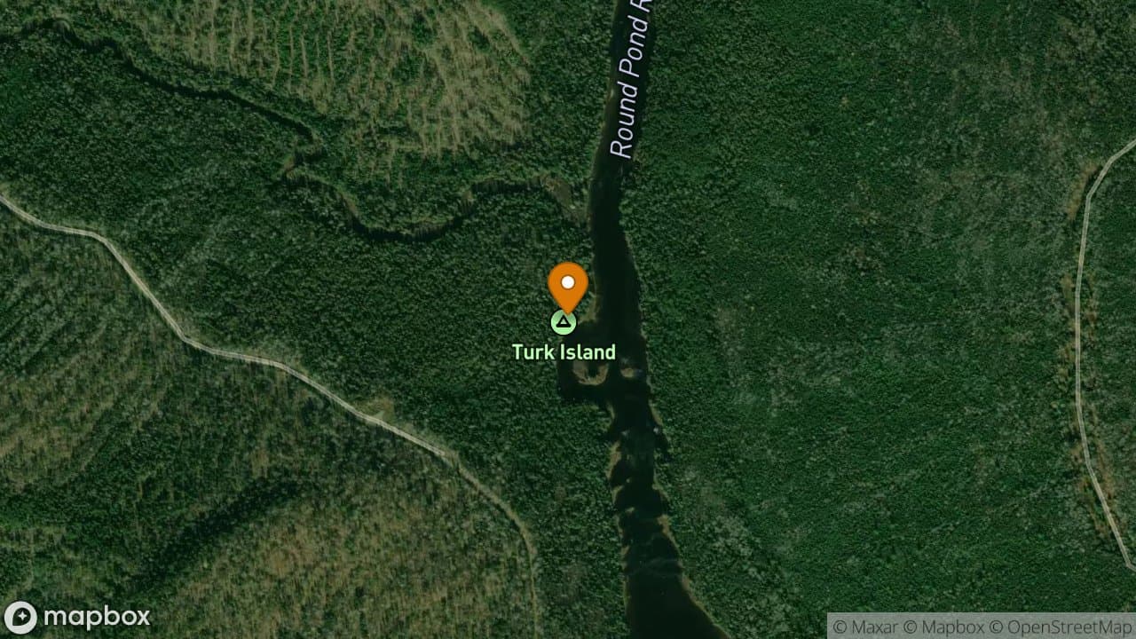
Allagash Wilderness Waterway
Turk Island Campsite has a nice open flat grassy area around the table and firep...
1 site·$6.54-$13.08/night
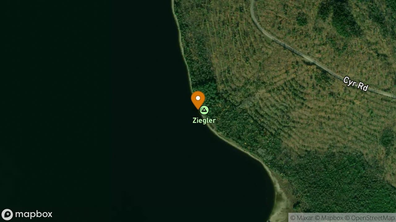
Allagash Wilderness Waterway
Ziegler Campsite is located on top of a small rise and has a large grassy area f...
2 sites·$6.54-$13.08/night