NMWMapNMWMap
Campsites
NMWMap

The interactive campsite guide for North Maine Woods, KI Jo-Mary, the Allagash Wilderness Waterway, and Baxter State Park.

Explore

  • All Campsites
  • Checkpoints
  • Fee Calculator
  • Trip Guides
  • Hunting Guide
  • Fishing Guide
  • Downloads

Management Zones

  • North Maine Woods
  • KI Jo-Mary Forest
  • Allagash Wilderness Waterway
  • Baxter State Park

Tools & Info

  • Favorites
  • Trip Planner
  • FAQ
  • About & Regulations
  • Official NMW Site

Get seasonal tips & road alerts

Road conditions, seasonal updates, and trip planning tips. No spam.

Not affiliated with North Maine Woods, Inc. Data sourced from publicly available KMZ/KML files and PDFs. Fees and regulations subject to change — always verify at checkpoint.

NMWMap.com

Campsites›Two Mile Brook

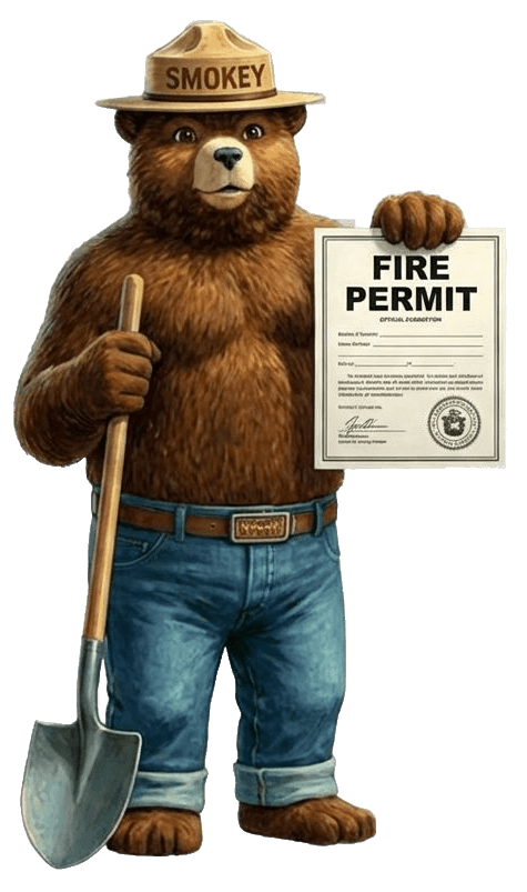
Fire Permit Required

This is a fire permit campsite with no built amenities. Call the Maine Forest Service at (207) 435-7963 (M–F, 8 AM–4 PM) to obtain a free campfire permit 1–2 days before your trip. Learn more

NMWFire Permit Site

Two Mile Brook

Fire Permit Sites

Directions

Location

46.9605°N, 69.4793°W

About This Campsite

Please note that Two Mile Brook is a Fire Permit campsite with no amenities. In order to have an open campfire at this site, a fire permit must first be obtained from the Maine Forest Service. To obtain a campfire permit, call the Maine Forest Service Northern Region office at (207) 435-7963, Monday–Friday, 8 AM–4 PM.

Permits are issued no more than 2 days in advance.

For more information, visit maine.gov/…Campfire_Permits

Fire Permit campsites are primarily used by fall season hunters.

Photos

Sign in to upload photos.

Reviews

Sign in to leave a review.

Quick Info

Zone
North Maine Woods
Region
Fire Permit Sites
Type
Fire Permit

Know Before You Go

Nearest Checkpoint

St. Pamphile Checkpoint(12.5 mi straight-line)

Nearest Gateway Town

Ashland

~55 mi · ~199 min drive

Road Difficulty

Rough

Unmaintained road, 4WD / high clearance required

Cell Coverage

No Coverage

AT&T: No Coverage (42.4 mi)

Verizon: No Coverage (44.9 mi)

T-Mobile: No Coverage (41.9 mi)

Best Season

Late May through October. July-August for warmest weather. September for fall color and fewer bugs.

Drive time estimates based on logging road conditions. Actual times may vary. Cell coverage is approximate — terrain significantly affects signal.

Estimate Fees

Calculate day-use and camping costs for NMW.

Find Checkpoints

See nearby entry points with hours and directions.

Smokey Bear says: Only you can prevent wildfires

Fire permit required

No built fire rings or amenities. Call (207) 435-7963 1–2 days ahead for a free campfire permit.

Maine Forest Service permit info →